
1948 Map of Sixteen
USGS Topo · Published 1953About this map
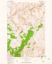
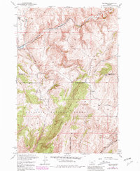
Chicago Milwaukee St Paul And Pacific tracks follow the winding course of Sixteenmile Creek through this high-altitude landscape on the boundary of Meagher and Gallatin Counties. The small settlement of Sixteen sits at the junction of the rail line and the Indian Creek Trail, serving as a remote outpost in a region defined by steep drainages and timbered slopes. Much of the southern portion of the quadrangle is protected within the Gallatin National Forest, dominated by the prominent Elkhorn Ridge.
Find a feature on this map
17 named features on this map. Tap any name to fly to it.
Don’t see what you’re looking for? This feature index may not catch every label — zoom into the map to look around manually.
Map Details
Editions of this 1948 Sixteen Map
3 editions found
Other maps of this area

1886 · Fort Logan
USGS Topo · 1:250,000

1886 · Little Belt Mts.
USGS Topo · 1:250,000

1894 · Little Belt Mts.
USGS Topo · 1:250,000

1897 · Little Belt Mts.
USGS Topo · 1:250,000

1898 · Little Belt Mts.
USGS Topo · 1:250,000

1902 · Little Belt Mts.
USGS Topo · 1:250,000

1948 · White Sulphur Springs
USGS Topo · 1:250,000

1949 · Maudlow
USGS Topo · 1:62,500

1951 · Sixteen NE
USGS Topo · 1:24,000
1951 · Wallrock
USGS Topo · 1:24,000