1948 Map of Sixteen
USGS Topo · Published 1963About this map
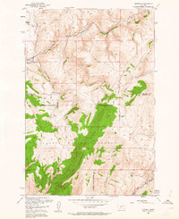
Sixteenmile Creek defines the northern corridor of this 1948 survey, serving as the primary passage for the Chicago Milwaukee St Paul and Pacific railroad, also known as the Milwaukee Road. The settlement of Sixteen sits at the junction of the creek and the rail line, marking a pocket of human activity in a region dominated by the high topography of the Gallatin National Forest. To the south, the prominent spine of Elkhorn Ridge rises between drainage systems like Indian Creek and Meadow Creek, illustrating the complex watershed that flows toward the Missouri River Basin.
Find a feature on this map
22 named features on this map. Tap any name to fly to it.
Don’t see what you’re looking for? This feature index may not catch every label — zoom into the map to look around manually.
Map Details
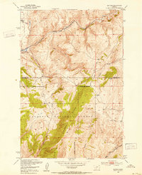
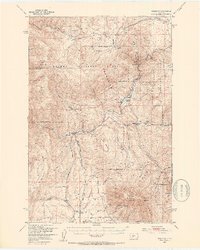
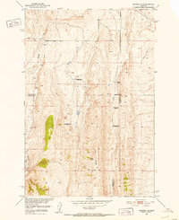
Editions of this 1948 Sixteen Map
3 editions found

Other maps of this area

1886 · Fort Logan
USGS Topo · 1:250,000

1886 · Little Belt Mts.
USGS Topo · 1:250,000

1894 · Little Belt Mts.
USGS Topo · 1:250,000

1897 · Little Belt Mts.
USGS Topo · 1:250,000

1898 · Little Belt Mts.
USGS Topo · 1:250,000

1902 · Little Belt Mts.
USGS Topo · 1:250,000

1948 · White Sulphur Springs
USGS Topo · 1:250,000
1948 · Sixteen
USGS Topo · 1:24,000
1949 · Maudlow
USGS Topo · 1:62,500
1951 · Sixteen NE
USGS Topo · 1:24,000