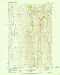
1951 Map of Wolf Hill
USGS Topo · Published 1953About this map
Rees Hills and the Oil Hills dominate this high-altitude landscape along the border of Meagher and Park Counties during the early 1950s. The region is characterized by isolated homesteads and extractive efforts, many of which appear in a state of transition. While the Gjerde Ranch and Arthur Ranch remain active, the presence of the Staley Place (Abnd) and Tyman Place (Abnd) suggests a period of rural consolidation or abandonment.
Find a feature on this map
17 named features on this map. Tap any name to fly to it.
Don’t see what you’re looking for? This feature index may not catch every label — zoom into the map to look around manually.
Map Details
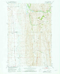
Editions of this 1951 Wolf Hill Map
2 editions found
Other maps of this area

1886 · Little Belt Mts.
USGS Topo · 1:250,000

1894 · Little Belt Mts.
USGS Topo · 1:250,000

1897 · Little Belt Mts.
USGS Topo · 1:250,000

1898 · Little Belt Mts.
USGS Topo · 1:250,000

1902 · Little Belt Mts.
USGS Topo · 1:250,000

1948 · White Sulphur Springs
USGS Topo · 1:250,000

1951 · Sixteen NE
USGS Topo · 1:24,000
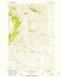
1951 · Wallrock
USGS Topo · 1:24,000

1951 · Hamen
USGS Topo · 1:24,000
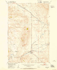
1951 · Ringling
USGS Topo · 1:24,000