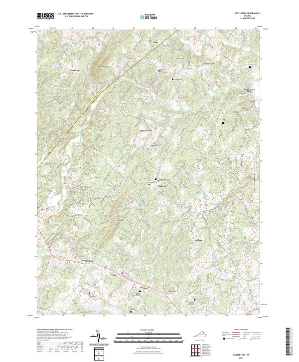
2022 Map of Castleton
USGS Topo · Published 2022About this map
The Thornton River and Hazel River carve a path through this section of Culpeper County, where the Rappahannock County line follows the ridge of Castleton Mtn. This landscape is defined by its small crossroads settlements and deep-rooted religious institutions, including the Gourdvine Baptist Church and Woodland United Methodist Church. The map provides significant genealogical value through its many family-named burial sites, such as the Crigler Cem, Pierce-Settle Cem, and the Tutt-Covington Cem near Salem. Transport follows traditional routes like the Sperryville Pike and Old Turnpike Rd, connecting clusters of activity at Eggbornsville, Castleton, and Monumental Mills. This area reflects a long-standing rural structure where small communities formed around water-powered industry and community churches.
Find a feature on this map
135 named features on this map. Tap any name to fly to it.
Don’t see what you’re looking for? This feature index may not catch every label — zoom into the map to look around manually.
Map Details
Editions of this 2022 Castleton Map
This is the sole edition of this map. No revisions or reprints were ever made.
Other maps of this area

1887 · Spottsylvania
USGS Topo · 1:125,000

1892 · Spottsylvania
USGS Topo · 1:125,000

1892 · Gordonsville
USGS Topo · 1:125,000

1893 · Luray
USGS Topo · 1:125,000

1894 · Warrenton
USGS Topo · 1:125,000

1894 · Warrenton
USGS Topo · 1:62,500

1905 · Luray
USGS Topo · 1:125,000

1927 · Remington
USGS Topo · 1:48,000

1930 · Warrenton
USGS Topo · 1:62,500

1943 · Culpeper
USGS Topo · 1:24,000