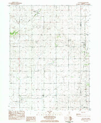
1983 Map of Castleton
USGS Topo · Published 1984About this map
The agricultural landscape of Stark County is defined by the rural crossroads of Castleton and Camp Grove as they appeared in the early 1980s. This survey records a transition in the region's transportation network, marking both active and defunct corridors such as the Burlington Northern and Chicago and North Western lines alongside an Old Railroad Grade that speaks to the area's earlier steam-era connectivity.
Find a feature on this map
18 named features on this map. Tap any name to fly to it.
Don’t see what you’re looking for? This feature index may not catch every label — zoom into the map to look around manually.
Map Details
Editions of this 1983 Castleton Map
This is the sole edition of this map. No revisions or reprints were ever made.
Other maps of this area

1893 · Dunlap
USGS Topo · 1:62,500

1898 · Dunlap
USGS Topo · 1:62,500

1932 · Dunlap
USGS Topo · 1:62,500

1933 · Dunlap
USGS Topo · 1:62,500

1933 · Camp Grove
USGS Topo · 1:48,000

1937 · Dunlap
USGS Topo · 1:62,500

1944 · Kewanee
USGS Topo · 1:62,500

1944 · Elmwood
USGS Topo · 1:62,500

1945 · Bradford
USGS Topo · 1:62,500

1948 · Elmwood
USGS Topo · 1:62,500