
Historical Maps of Stark County, Illinois
What stories do these 49 old maps tell about Stark County's past? From 1893 to present day, these maps reveal the evolution of streets, neighborhoods, iconic landmarks, and natural features in stunning high-res detail. Whether you're a history enthusiast, genealogist, or professional in education, environmental work, or architecture, these maps are perfect for exploration, research, and discovery.
Discover Stark County's history through maps:
- Trace Stark County's growth: Explore earlier and latest maps and editions to uncover how the region changed over time.
- Examine technical details: Each map includes its creators, publishers, scale, dimensions, and full source information.
- Layer maps with modern tools & imagery: Compare historical maps to modern-day with high-resolution satellite imagery and detailed LiDAR layers.
- Sourced from trusted archives: Carefully preserved and digitized by institutions like the United Stated Geological Survey and the US Library of Congress.
- Access in any format: View and explore in high resolution, download for offline use, or order a museum-quality print for yourself or a loved one.
Begin your journey into Stark County's history with these remarkable must-see maps.
Stark County, IL maps
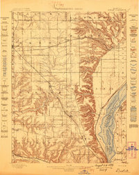
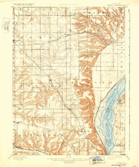
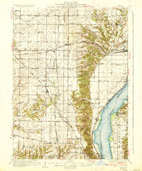
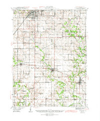
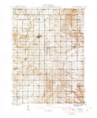
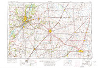
(49)- 1893 Map of Dunlap
 1893 Dunlap1893 Print · USGSCovers Stark County, including Peoria, Chillicothe, and other nearby areas
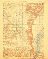
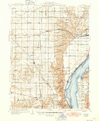
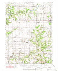
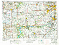
 - 1898 Map of Dunlap
 1898 Dunlap1898 Print · USGSCovers Stark County, including Peoria, Chillicothe, and other nearby areas
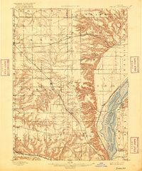
 - 1898 Map of Dunlap, 1907 Print
 1898 Dunlap1907 Print · USGSCovers Stark County, including Peoria, Chillicothe, and other nearby areas
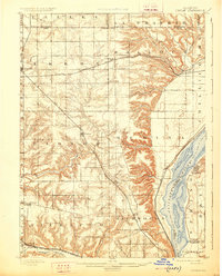
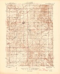
 - 1898 Map of Dunlap, 1916 Print
 1898 Dunlap1916 Print · USGSCovers Stark County, including Peoria, Chillicothe, and other nearby areas
 - 1898 Map of Dunlap, 1926 Print
 1898 Dunlap1926 Print · USGSCovers Stark County, including Peoria, Chillicothe, and other nearby areas
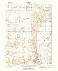
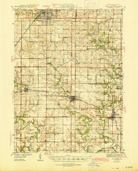
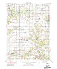
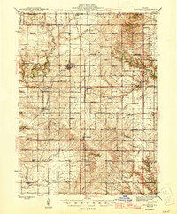
 - 1932 Map of Dunlap
 1932 Dunlap1932 Print · USGSCovers Stark County, including Peoria, Chillicothe, and other nearby areas
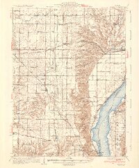
 - 1933 Map of Dunlap
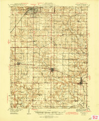
 1933 Dunlap1933 Print · USGSCovers Stark County, including Peoria, Chillicothe, and other nearby areas
 - 1933 Map of Camp Grove
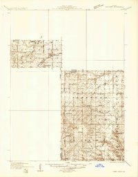 1933 Camp Grove1933 Print · USGSCovers Stark County, including Bradford, Milo, and other nearby areas
 - 1937 Map of Dunlap
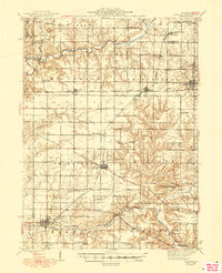
 1937 Dunlap1937 Print · USGSCovers Stark County, including Peoria, Chillicothe, and other nearby areas
 - 1937 Map of Dunlap
 1937 Dunlap1937 Print · USGSCovers Stark County, including Peoria, Chillicothe, and other nearby areas
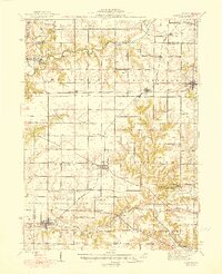
 - 1937 Map of Dunlap, 1949 Print
 1937 Dunlap1949 Print · USGSCovers Stark County, including Peoria, Chillicothe, and other nearby areas
 - 1944 Map of Kewanee
 1944 Kewanee1944 Print · USGSCovers Stark County, including Kewanee, Wyoming, and other nearby areas
 - 1944 Map of Kewanee
 1944 Kewanee1944 Print · USGSCovers Stark County, including Kewanee, Wyoming, and other nearby areas
 - 1944 Map of Kewanee
 1944 Kewanee1944 Print · USGSCovers Stark County, including Kewanee, Wyoming, and other nearby areas
 - 1944 Map of Elmwood, 1967 Print
 1944 Elmwood1967 Print · USGSCovers Stark County, including Kickapoo, Elmwood, and other nearby areas
 - 1944 Map of Elmwood, 1983 Print
 1944 Elmwood1983 Print · USGSCovers Stark County, including Kickapoo, Elmwood, and other nearby areas
 - 1945 Map of Bradford
 1945 Bradford1945 Print · USGSCovers Stark County, including Bradford, Milo, and other nearby areas
 - 1945 Map of Bradford
 1945 Bradford1945 Print · USGSCovers Stark County, including Bradford, Milo, and other nearby areas
 - 1945 Map of Bradford
 1945 Bradford1945 Print · USGSCovers Stark County, including Bradford, Milo, and other nearby areas
 - 1948 Map of Elmwood
 1948 Elmwood1948 Print · USGSCovers Stark County, including Kickapoo, Elmwood, and other nearby areas
 - 1948 Map of Elmwood
 1948 Elmwood1948 Print · USGSCovers Stark County, including Kickapoo, Elmwood, and other nearby areas
 - 1958 Map of Aurora, 1969 Print
 1958 Aurora1969 Print · USGSCovers Stark County, including Aurora, Joliet, and other nearby areas
 - 1958 Map of Peoria, 1969 Print
 1958 Peoria1969 Print · USGSCovers Stark County, including Peoria, Champaign, and other nearby areas
 - 1958 Map of Peoria, 1973 Print
 1958 Peoria1973 Print · USGSCovers Stark County, including Peoria, Champaign, and other nearby areas
 - 1958 Map of Aurora, 1974 Print
 1958 Aurora1974 Print · USGSCovers Stark County, including Aurora, Joliet, and other nearby areas
Showing maps 1-25 of 49
Top cities in Stark County
- Wyoming historical maps
- Toulon historical maps
- Osceola historical maps
- Bradford historical maps
- Elmira historical maps
- West Jersey historical maps
Frequently asked questions
- What are the different types of historical maps available for Stark County?
- What is the oldest map of Stark County?
- Where can I purchase historical maps of Stark County for my home or office?
- Where can I download high-res historical maps of Stark County?
- Are there historical topographic maps available for Stark County?
- Is there historical aerial imagery available for Stark County?
- Where are historical maps of Stark County sourced from?