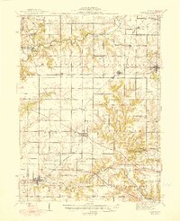
1944 Map of Elmwood
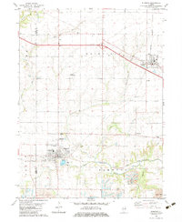
USGS Topo · Published 1983About this map
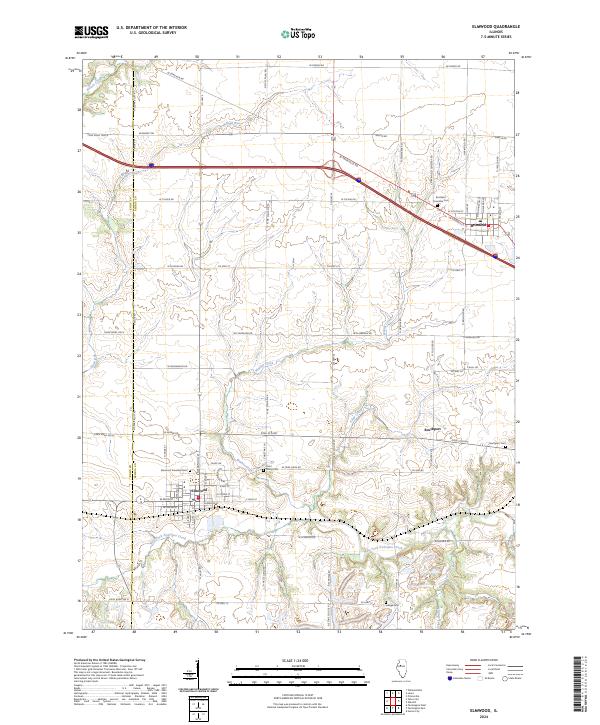
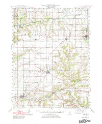
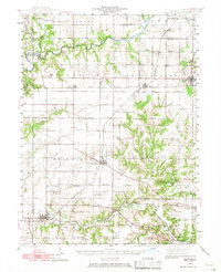
The Spoon River winds through the northern portion of this landscape, carving a valley that defines the local topography between West Jersey and Princeville. During the mid-1940s, this region of Illinois was characterized by a dense network of rural schoolhouses and family-named landmarks, reflecting a community structure built around agriculture and rail transport. Significant transportation corridors like the Atchison Topeka and Santa Fe and the Chicago Burlington and Quincy railroads facilitated movement between settlements such as Elmwood, Brimfield, and Monica. Central to the cultural landscape is Jubilee College State Park, situated amidst the undulating terrain near Kickapoo Creek. Researchers will find a wealth of genealogical data in the numerous country schools, including Paradise Chapel Sch and Golden Rule Sch, along with established burying grounds like Calvary Cem and Southport Cem.
Find a feature on this map
75 named features on this map. Tap any name to fly to it.
Don’t see what you’re looking for? This feature index may not catch every label — zoom into the map to look around manually.
Map Details
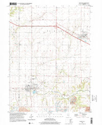
Editions of this 1944 Elmwood Map
2 editions found
Historical Maps of Kickapoo Through Time
9 maps found