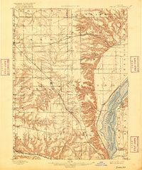
1898 Map of Dunlap
USGS Topo · Published 1916About this map
The Illinois River valley defines the eastern edge of this late nineteenth-century landscape, where the rugged bluffs of Medina and Hallock townships meet the bottomlands of Spring Bay. This survey captures a critical era of transit, showing a dense network of rail lines including the Atchison Topeka and Santa Fe Railroad and the Rock Island and Peoria Railroad branching across the prairie. These routes supported a series of established agricultural and rail hubs like Dunlap, Princeville, and Edelstein. In the south, Kickapoo Creek winds through the township of the same name, passing by Edwards and Kickapoo. The map provides a detailed look at the rural township structure, delineating boundaries between Peoria, Stark, and Marshall counties, reflecting the organized settlement patterns of Central Illinois before the expansion of the modern Peoria metropolitan area.
Find a feature on this map
48 named features on this map. Tap any name to fly to it.
Don’t see what you’re looking for? This feature index may not catch every label — zoom into the map to look around manually.
Map Details
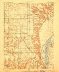
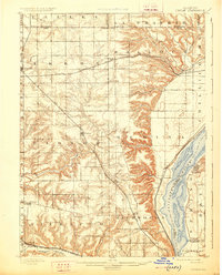
Editions of this 1898 Dunlap Map
4 editions found
Other maps of this area

1893 · Lacon
USGS Topo · 1:62,500

1893 · Metamora
USGS Topo · 1:62,500

1893 · Dunlap
USGS Topo · 1:62,500

1898 · Dunlap
USGS Topo · 1:62,500

1905 · Peoria
USGS Topo · 1:62,500

1927 · Peoria
USGS Topo · 1:62,500

1928 · Mackinaw
USGS Topo · 1:62,500

1930 · Glasford
USGS Topo · 1:62,500

1932 · Mackinaw
USGS Topo · 1:62,500

1932 · Dunlap
USGS Topo · 1:62,500