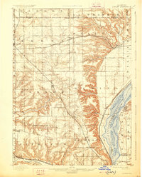
1898 Map of Dunlap
USGS Topo · Published 1926About this map
Illinois River bottomlands and the rising bluffs of Peoria County define this 1891 landscape, surveyed when steam rail was the primary engine of local growth. The topography reveals a sharp contrast between the flat upland of La Prairie and the deeply dissected ravines leading down to the river valley near Mossville. Settlement patterns follow the iron, with the Atchison Topeka and Santa Fe Railroad cutting across the northern reaches through Edelstein, while the Rock Island and Peoria Railroad anchors the central town of Dunlap.
Find a feature on this map
49 named features on this map. Tap any name to fly to it.
Don’t see what you’re looking for? This feature index may not catch every label — zoom into the map to look around manually.
Map Details
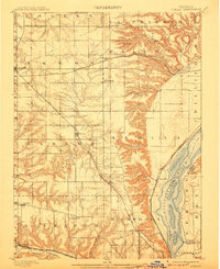
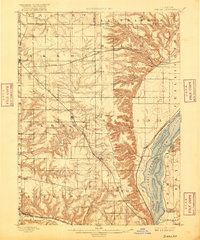
Editions of this 1898 Dunlap Map
4 editions found
Other maps of this area

1893 · Lacon
USGS Topo · 1:62,500

1893 · Metamora
USGS Topo · 1:62,500

1893 · Dunlap
USGS Topo · 1:62,500

1898 · Dunlap
USGS Topo · 1:62,500

1905 · Peoria
USGS Topo · 1:62,500

1927 · Peoria
USGS Topo · 1:62,500

1928 · Mackinaw
USGS Topo · 1:62,500

1930 · Glasford
USGS Topo · 1:62,500

1932 · Mackinaw
USGS Topo · 1:62,500

1932 · Dunlap
USGS Topo · 1:62,500