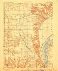
1898 Map of Dunlap
USGS Topo · Published 1907About this map
The Illinois River serves as the eastern anchor for this prairie landscape, carving a wide valley that contrasts sharply with the high agricultural plains of Akron and Radnor. Surveyed in 1891, the map reveals a region defined by the competition and coordination of early rail lines. The Cri&P RR (Rock Island) cuts a straight diagonal southeast through Dunlap and Alta, while the At&SF RR (Santa Fe) winds through the northern hills near Edelstein.
Find a feature on this map
47 named features on this map. Tap any name to fly to it.
Don’t see what you’re looking for? This feature index may not catch every label — zoom into the map to look around manually.
Map Details
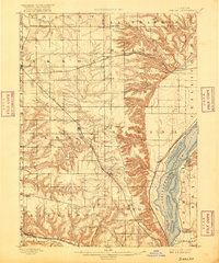
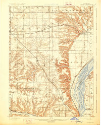
Editions of this 1898 Dunlap Map
4 editions found
Other maps of this area

1893 · Lacon
USGS Topo · 1:62,500

1893 · Metamora
USGS Topo · 1:62,500

1893 · Dunlap
USGS Topo · 1:62,500

1898 · Dunlap
USGS Topo · 1:62,500

1905 · Peoria
USGS Topo · 1:62,500

1927 · Peoria
USGS Topo · 1:62,500

1928 · Mackinaw
USGS Topo · 1:62,500

1930 · Glasford
USGS Topo · 1:62,500

1932 · Mackinaw
USGS Topo · 1:62,500

1932 · Dunlap
USGS Topo · 1:62,500