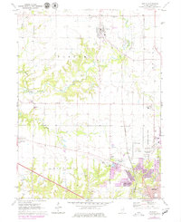
1971 Map of Dunlap
USGS Topo · Published 1979About this map
Dunlap serves as a primary hub in this Illinois landscape during the early 1970s, situated north of the expanding Peoria metropolitan area. The terrain is defined by the winding course of Kickapoo Creek and its tributaries, including Hickory Run and Fargo Run, which carve through the townships of Radnor, Medina, and Kickapoo. Rural life is evident through landmarks like Grange Hall and the Evans Mill Bridge, while spiritual and community history is preserved at St Clements Cem and the Charter Oak Ch.
Find a feature on this map
34 named features on this map. Tap any name to fly to it.
Don’t see what you’re looking for? This feature index may not catch every label — zoom into the map to look around manually.
Map Details
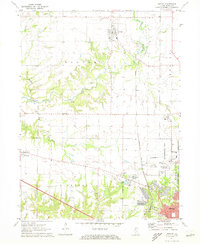
Editions of this 1971 Dunlap Map
2 editions found
Other maps of this area

1893 · Dunlap
USGS Topo · 1:62,500

1898 · Dunlap
USGS Topo · 1:62,500

1905 · Peoria
USGS Topo · 1:62,500

1927 · Peoria
USGS Topo · 1:62,500

1930 · Glasford
USGS Topo · 1:62,500

1932 · Dunlap
USGS Topo · 1:62,500

1933 · Dunlap
USGS Topo · 1:62,500

1937 · Dunlap
USGS Topo · 1:62,500

1944 · Elmwood
USGS Topo · 1:62,500

1948 · Elmwood
USGS Topo · 1:62,500