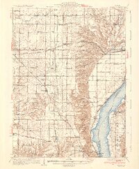
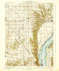
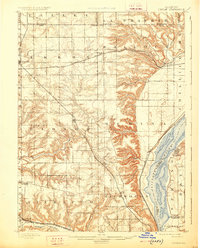
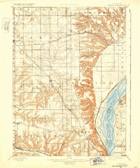
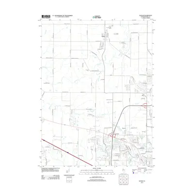
1937 Map of Dunlap
USGS Topo · Published 1937About this map
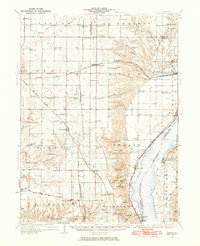
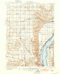
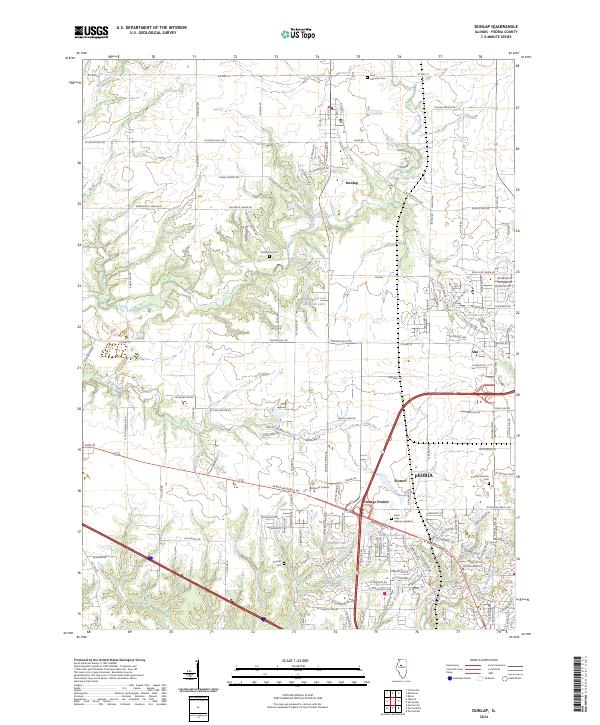
Lucky Strike Mine and Big Hollow Mine anchor the southern reaches of this landscape, reflecting the region's extraction history as the suburbs of Peoria Heights began to expand northward. The Illinois River serves as the dominant eastern boundary, where the river-rail economy is evident in the alignment of the Chicago Rock Island and Pacific railroad through Mossville. Further inland, the high prairie is dotted with a dense network of one-room schoolhouses like Turnbull Sch and Streitmatter Sch, marking the distribution of early rural communities across townships such as Radnor and Hallock.
Find a feature on this map
95 named features on this map. Tap any name to fly to it.
Don’t see what you’re looking for? This feature index may not catch every label — zoom into the map to look around manually.
Map Details
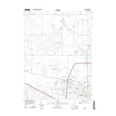
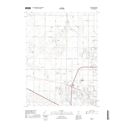
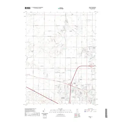
Editions of this 1937 Dunlap Map
3 editions found
Historical Maps of Peoria Through Time
12 maps found

1893 Dunlap
Peoria County, IL
1898 Dunlap
Peoria County, IL
1932 Dunlap
Peoria County, IL
1933 Dunlap
Peoria County, IL
1937 Dunlap
Peoria County, IL
1971 Dunlap
Peoria County, IL
1996 Dunlap
Peoria County, IL
2012 Dunlap
Peoria County, IL
2015 Dunlap
Peoria County, IL
2018 Dunlap
Peoria County, IL
2021 Dunlap
Peoria County, IL
2024 Dunlap
Peoria County, IL