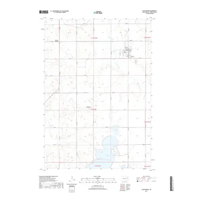
2017 Map of Castlewood
USGS Topo · Published 2017About this map
The Big Sioux River meanders through the eastern portions of this quadrangle, defining the agricultural landscape of Castlewood in the late 2010s. The town of Castlewood serves as the local hub, organized around a grid that includes Main St and Market St, along with the Po and historic burial sites such as Castlewood Cem and Saint John's Catholic Cem. This area is situated atop the Coteau des Prairies, a high plateau that accounts for the numerous small wetlands and lakes scattered across the prairie. To the south, the significant waters of Lake Poinsett and the smaller Lake Florence dominate the terrain. This map captures the modern rural infrastructure of Hamlin County, where section-line roads like 457th Ave and 184th St connect isolated homesteads and corners like Kones Corner.
Find a feature on this map
42 named features on this map. Tap any name to fly to it.
Don’t see what you’re looking for? This feature index may not catch every label — zoom into the map to look around manually.
Map Details
Editions of this 2017 Castlewood Map
This is the sole edition of this map. No revisions or reprints were ever made.
Other maps of this area

1953 · Watertown
USGS Topo · 1:250,000

1958 · Watertown
USGS Topo · 1:250,000

1969 · Hayti
USGS Topo · 1:24,000

1969 · Dempster
USGS Topo · 1:24,000

1969 · Castlewood
USGS Topo · 1:24,000

1969 · Lake Norden
USGS Topo · 1:24,000

1969 · Pelican Lake
USGS Topo · 1:24,000

1969 · Watertown SE
USGS Topo · 1:24,000

1969 · Lake Poinsett
USGS Topo · 1:24,000

1970 · Kranzburg SW
USGS Topo · 1:24,000