2021 Map of Castlewood
USGS Topo · Published 2021About this map
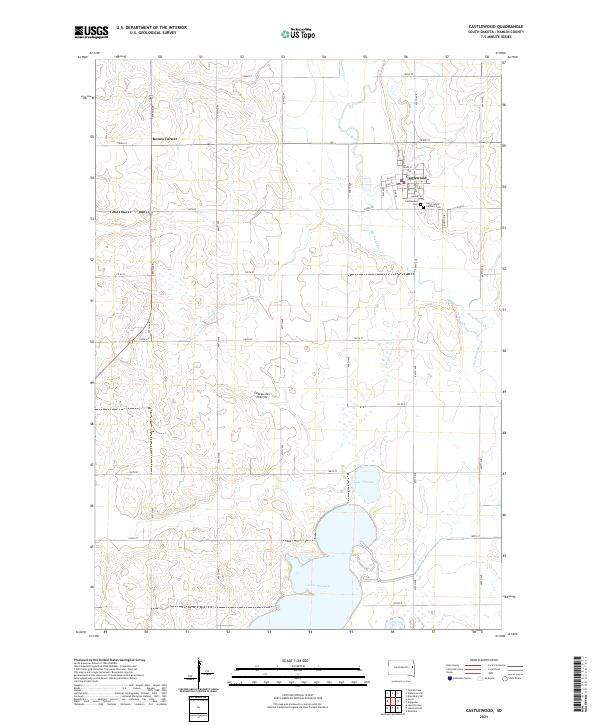
Castlewood serves as the primary center of this eastern South Dakota landscape, situated along the winding course of the Big Sioux River. The terrain is defined by the unique geological formation of the Coteau des Prairies, a high plateau that creates a distinct drainage pattern across the region. To the south, the massive expanse of Lake Poinsett dominates the area, accompanied by the smaller Lake Florence, illustrating the wetland-rich character of the prairie. The map provides significant detail for genealogists, including the Castlewood Cem and Saint John's Catholic Cem on the eastern edge of town. A strict grid of county roads and avenues, such as Co Rd B and 455th Ave, connects the rural homesteads and smaller junctions like Kones Corner, showing a settlement pattern deeply rooted in the Public Land Survey System.
Find a feature on this map
43 named features on this map. Tap any name to fly to it.
Don’t see what you’re looking for? This feature index may not catch every label — zoom into the map to look around manually.
Map Details
Editions of this 2021 Castlewood Map
This is the sole edition of this map. No revisions or reprints were ever made.
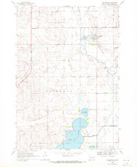
Historical Maps of Florence Township Through Time
Featured Locations
- Castlewood Township, SD
- Dempster Township, SD
- Estelline Township, SD
- Castlewood, Castlewood Township
- Kones Corner, Castlewood Township