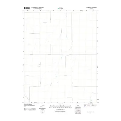
2010 Map of Cat Creek NW
USGS Topo · Published 2010About this map
Willow Creek provides the primary drainage through this high plains landscape in Prowers County, meandering northward past the site of Willow Springs. The area is defined by a rigid section-line road network, including thoroughfares such as County Road BB and County Road U, reflecting the organized agricultural layout of eastern Colorado. This 2010 survey illustrates the sparse but critical water resources in an arid environment, where intermittent flows like East Dry Creek, Clay Creek, and Cat Creek define the low-lying topography. The map documents the enduring rural infrastructure of the region, where wide-open spaces are partitioned by a series of numbered and lettered county roads that connect remote ranching and farming tracts.
Find a feature on this map
18 named features on this map. Tap any name to fly to it.
Don’t see what you’re looking for? This feature index may not catch every label — zoom into the map to look around manually.
Map Details
Editions of this 2010 Cat Creek NW Map
This is the sole edition of this map. No revisions or reprints were ever made.
Other maps of this area

1892 · Lamar
USGS Topo · 1:125,000

1892 · Two Butte
USGS Topo · 1:125,000

1893 · Two Butte
USGS Topo · 1:125,000

1952 · Lamar West
USGS Topo · 1:24,000

1953 · Lamar East
USGS Topo · 1:24,000

1953 · Prowers
USGS Topo · 1:24,000

1954 · Lamar
USGS Topo · 1:250,000

1955 · La Junta
USGS Topo · 1:250,000

1958 · La Junta
USGS Topo · 1:250,000

1958 · Lamar
USGS Topo · 1:250,000