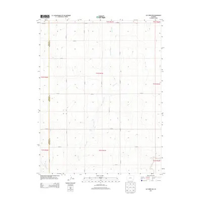
2013 Map of Cat Creek NW
USGS Topo · Published 2013About this map
Willow Creek provides the primary drainage through this high plains landscape on the border of Bent and Prowers Counties. The terrain is defined by a grid of rural roads, such as Co Road BB and Co Road X, which follow the Public Land Survey System lines through this agricultural region. Water sources are scarce but significant, with Willow Springs and East Dry Creek marking the few natural breaks in the topography. The boundary between Bent and Prowers Counties runs north-south along the western edge of the quadrangle, illustrating the strict geometric division of land in eastern Colorado. This 2013 survey illustrates the persistence of the section-line road network, where routes like Co Road V and Co Road U serve remote ranching and farming operations long after the initial settlement era.
Find a feature on this map
25 named features on this map. Tap any name to fly to it.
Don’t see what you’re looking for? This feature index may not catch every label — zoom into the map to look around manually.
Map Details
Editions of this 2013 Cat Creek NW Map
This is the sole edition of this map. No revisions or reprints were ever made.
Other maps of this area

1892 · Lamar
USGS Topo · 1:125,000

1892 · Two Butte
USGS Topo · 1:125,000

1893 · Two Butte
USGS Topo · 1:125,000

1952 · Lamar West
USGS Topo · 1:24,000

1953 · Lamar East
USGS Topo · 1:24,000

1953 · Prowers
USGS Topo · 1:24,000

1954 · Lamar
USGS Topo · 1:250,000

1955 · La Junta
USGS Topo · 1:250,000

1958 · La Junta
USGS Topo · 1:250,000

1958 · Lamar
USGS Topo · 1:250,000