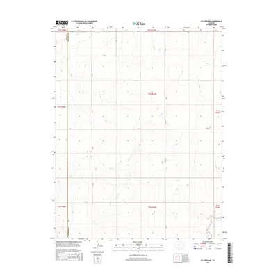
2016 Map of Cat Creek NW
USGS Topo · Published 2016About this map
Willow Springs sits at the heart of this high plains landscape, marking a vital water source in the arid expanse of southeastern Colorado. This 2016 survey documents the rural borderlands where Bent Co meets Prowers Co, a region defined by its wide section-line road grid and intermittent watercourses. The drainage of Willow Cr meanders southward through the center of the quadrangle, eventually joined by smaller tributaries like E Dry Cr and Cat Cr. The map reveals a strictly organized agricultural landscape, where numbered routes such as Co Rd 2 and Co Rd 5 provide the primary infrastructure for ranching and farming operations. The topographic detail captures the subtle elevation changes of the plains, showing the gradual descent toward the Arkansas River valley located further south.
Find a feature on this map
22 named features on this map. Tap any name to fly to it.
Don’t see what you’re looking for? This feature index may not catch every label — zoom into the map to look around manually.
Map Details
Editions of this 2016 Cat Creek NW Map
This is the sole edition of this map. No revisions or reprints were ever made.
Other maps of this area

1892 · Lamar
USGS Topo · 1:125,000

1892 · Two Butte
USGS Topo · 1:125,000

1893 · Two Butte
USGS Topo · 1:125,000

1952 · Lamar West
USGS Topo · 1:24,000

1953 · Lamar East
USGS Topo · 1:24,000

1953 · Prowers
USGS Topo · 1:24,000

1954 · Lamar
USGS Topo · 1:250,000

1955 · La Junta
USGS Topo · 1:250,000

1958 · La Junta
USGS Topo · 1:250,000

1958 · Lamar
USGS Topo · 1:250,000