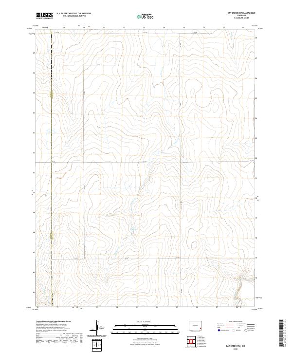
2022 Map of Cat Creek NW
USGS Topo · Published 2022About this map
The high plains of eastern Colorado are defined here by the meeting of the Bent Co Prowers Co boundary and a network of drainage systems that carve through the landscape. Centered on the ephemeral reaches of Willow Cr, the terrain is marked by the presence of Willow Springs, a rare water source in this arid section of the West. The map documents a sparse, functional grid of rural infrastructure, where routes like Co Rd Bb and Co Rd Aa navigate the townships and ranges. To the south, the landscape shifts toward the winding paths of Clay Cr and Cat Cr. This modern survey provides a clear view of the ranching and agricultural partitions that have organized this part of the Arkansas River Valley periphery since the early land office surveys.
Find a feature on this map
25 named features on this map. Tap any name to fly to it.
Don’t see what you’re looking for? This feature index may not catch every label — zoom into the map to look around manually.
Map Details
Editions of this 2022 Cat Creek NW Map
This is the sole edition of this map. No revisions or reprints were ever made.
Other maps of this area

1892 · Lamar
USGS Topo · 1:125,000

1892 · Two Butte
USGS Topo · 1:125,000

1893 · Two Butte
USGS Topo · 1:125,000

1952 · Lamar West
USGS Topo · 1:24,000

1953 · Lamar East
USGS Topo · 1:24,000

1953 · Prowers
USGS Topo · 1:24,000

1954 · Lamar
USGS Topo · 1:250,000

1955 · La Junta
USGS Topo · 1:250,000

1958 · La Junta
USGS Topo · 1:250,000

1958 · Lamar
USGS Topo · 1:250,000