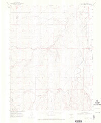
1968 Map of Cat Creek
USGS Topo · Published 1971About this map
Cat Creek and the surrounding drainage network of Clay Creek define this high plains landscape along the county line. The 1968 survey documents a region primarily dedicated to rural utility and ranching infrastructure, punctuated by the Springfield Pumping Station and a nearby Pipeline corridor. The presence of the Springfield Landing Strip in the southwest corner suggests the importance of aerial access in this expansive terrain. Water management and erosion are evident through the naming of several topographic features such as James Draw and Antelope Draw, while industry is represented by scattered Borrow Pits. The map also clearly delineates the border between Bent Co and Prowers Co, providing a precise look at the jurisdictional boundary during the late 1960s.
Find a feature on this map
12 named features on this map. Tap any name to fly to it.
Don’t see what you’re looking for? This feature index may not catch every label — zoom into the map to look around manually.
Map Details
Editions of this 1968 Cat Creek Map
2 editions found
Other maps of this area

1892 · Two Butte
USGS Topo · 1:125,000

1893 · Two Butte
USGS Topo · 1:125,000

1955 · La Junta
USGS Topo · 1:250,000

1958 · La Junta
USGS Topo · 1:250,000

1968 · La Junta
USGS Topo · 1:250,000
1968 · Dripping Spring
USGS Topo · 1:24,000
1968 · Cat Creek NE
USGS Topo · 1:24,000
1968 · Cat Creek
USGS Topo · 1:24,000
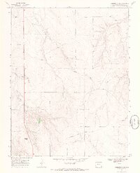
1968 · Gobblers Knob
USGS Topo · 1:24,000
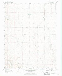
1968 · Denny Lake
USGS Topo · 1:24,000