
1963 Map of Cat Island
USGS Topo · Published 1965About this map
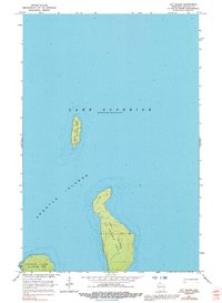
Lake Superior surrounds the remote landmasses of La Pointe Twp in this detailed hydrographic and topographic study. The map centers on Cat Island, the most prominent feature of the quadrangle, flanked by the smaller North Twin Island to the north and the eastern edge of Ironwood Island to the southwest. These landforms are part of the larger Apostle Islands chain, shown here during a period of mid-century scientific mapping by the Geological Survey and the Wisconsin Geological and Natural History Survey. The map provides precise depth soundings and interior elevations for these uninhabited islands, capturing the shoreline and terrain as it appeared before many of these areas were incorporated into the national lakeshore system. It serves as a specific record of the island topography and surrounding lake floor depths in the early 1960s.
Find a feature on this map
6 named features on this map. Tap any name to fly to it.
Don’t see what you’re looking for? This feature index may not catch every label — zoom into the map to look around manually.
Map Details
Editions of this 1963 Cat Island Map
2 editions found
Other maps of this area

1953 · Ashland
USGS Topo · 1:250,000

1954 · Two Harbors
USGS Topo · 1:250,000

1957 · Two Harbors
USGS Topo · 1:250,000

1958 · Ashland
USGS Topo · 1:250,000

1958 · Two Harbors
USGS Topo · 1:250,000
1963 · Outer Island
USGS Topo · 1:62,500

1963 · Michigan Island
USGS Topo · 1:24,000

1963 · Rocky Island
USGS Topo · 1:62,500
1963 · Outer Island
USGS Topo · 1:24,000

1963 · Oak Island
USGS Topo · 1:24,000