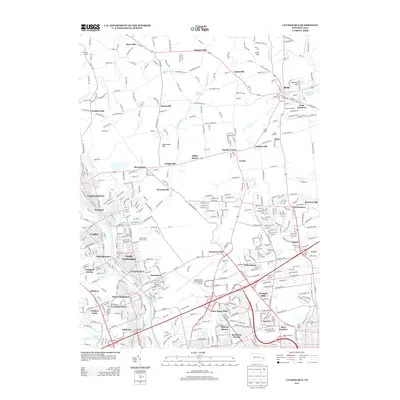
2013 Map of Catasauqua
USGS Topo · Published 2013About this map
The Lehigh River corridor serves as the industrial and residential spine for this region of eastern Pennsylvania, where historic river towns and modern transportation infrastructure meet. Dense urban centers like Catasauqua, North Catasauqua, and Hokendauqua occupy the western portion of the sheet, while the eastern landscape transitions into a network of small settlements and crossroad hamlets. The map illustrates the specialized rail infrastructure of the area with Cement Junction and Bath Junction, highlighting the region's historical industrial ties. Dominating the central-eastern landscape is the Lehigh Valley International Airport, surrounded by commercial developments like the Valley Center Pkwy. To the north, the terrain rises toward Holiday Hill and Sauerkraut Hill, with water features such as Catasauqua Lake, Miller Slate Pond, and the meandering Monocacy Cr providing contrast to the built environment.
Find a feature on this map
65 named features on this map. Tap any name to fly to it.
Don’t see what you’re looking for? This feature index may not catch every label — zoom into the map to look around manually.
Map Details
Editions of this 2013 Catasauqua Map
This is the sole edition of this map. No revisions or reprints were ever made.
Other maps of this area

1894 · Allentown
USGS Topo · 1:62,500

1902 · Slatington
USGS Topo · 1:62,500

1914 · Wind Gap
USGS Topo · 1:62,500

1916 · Wind Gap
USGS Topo · 1:62,500

1922 · Mauch Chunk
USGS Topo · 1:62,500

1924 · Mauch Chunk
USGS Topo · 1:62,500

1937 · Allentown West
USGS Topo · 1:48,000

1939 · Allentown
USGS Topo · 1:62,500

1942 · Allentown West
USGS Topo · 1:62,500

1943 · Mauch Chunk
USGS Topo · 1:62,500