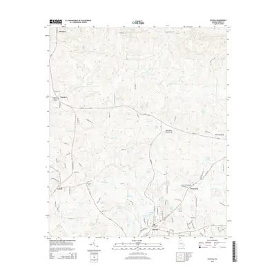
2014 Map of Cataula
USGS Topo · Published 2014About this map
Mulberry Creek and its many tributaries, including Dowdell Cr and Palmetto Cr, define the drainage patterns of this Harris County landscape. The area is characterized by several small communities and rural intersections, such as Turntime Crossroads and the settlement of Ossahatchie. Two significant cultural landmarks, the Kingsboro Covered Bridge and the Lowes Covered Bridge, highlight the local infrastructure used to cross the winding creeks.
Find a feature on this map
105 named features on this map. Tap any name to fly to it.
Don’t see what you’re looking for? This feature index may not catch every label — zoom into the map to look around manually.
Map Details
Editions of this 2014 Cataula Map
This is the sole edition of this map. No revisions or reprints were ever made.
Other maps of this area

1907 · Talbotton
USGS Topo · 1:125,000

1934 · Warm Springs
USGS Topo · 1:62,500

1936 · Warm Springs
USGS Topo · 1:62,500

1949 · Midland
USGS Topo · 1:24,000

1949 · Upatoi
USGS Topo · 1:24,000

1950 · Fortson
USGS Topo · 1:24,000

1950 · Mulberry Grove
USGS Topo · 1:24,000

1950 · Waverly Hall
USGS Topo · 1:24,000

1950 · Cataula
USGS Topo · 1:24,000

1950 · Talbotton
USGS Topo · 1:62,500