Loading...
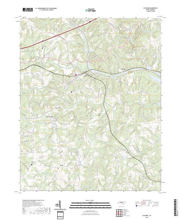
Loading map...2022 Map of Catawba
USGS Topo · Published 2022About this map
Catawba serves as the focal point for this landscape where the NS railroad line crosses the northern reaches of the Catawba River. The terrain is defined by a dense network of tributaries including Lyle Cr, Balls Cr, and Gold Mine Cr that drain into the widening waters of Lake Norman along the Iredell and Catawba County line. The rural character of the region is punctuated by family and community landmarks such as Murrays Hill and Murrays Mill Lake.
Find a feature on this map
147 named features on this map. Tap any name to fly to it.
Don’t see what you’re looking for? This feature index may not catch every label — zoom into the map to look around manually.
Map Details
Date Portrayed2022
Date Published2022
PublisherU.S. Geological Survey
Map TypeTopographic
Scale1:24000
Physical Dimensions24 x 29 inches
Editions of this 2022 Catawba Map
This is the sole edition of this map. No revisions or reprints were ever made.
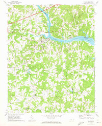
Historical Maps of Catawba Through Time
4 maps found
Featured Locations
Source Details
SourceU.S. Geological Survey
CopyrightPublic Domain