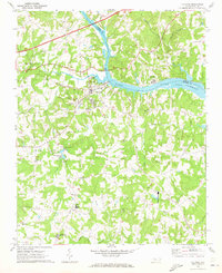
1970 Map of Catawba
USGS Topo · Published 1973About this map
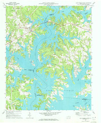
The Catawba River and the newly formed Lake Norman dominate this Piedmont landscape, defining the boundary between Iredell and Catawba counties. Near the town of Catawba, the Southern railroad line crosses the river as it moves east, passing several significant local landmarks. Of particular note is the Bunker Hill Covered Bridge spanning Lyle Creek in the northwest, a rare architectural survivor.
Find a feature on this map
53 named features on this map. Tap any name to fly to it.
Don’t see what you’re looking for? This feature index may not catch every label — zoom into the map to look around manually.
Map Details
Editions of this 1970 Catawba Map
This is the sole edition of this map. No revisions or reprints were ever made.
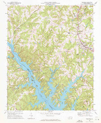
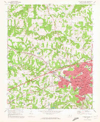
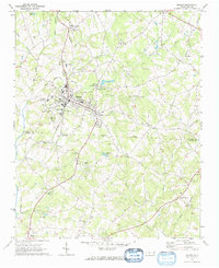
Other maps of this area

1893 · Statesville
USGS Topo · 1:125,000

1895 · Hickory
USGS Topo · 1:125,000

1953 · Charlotte
USGS Topo · 1:250,000

1954 · Charlotte
USGS Topo · 1:250,000

1960 · Charlotte
USGS Topo · 1:250,000

1962 · Charlotte
USGS Topo · 1:250,000
1969 · Troutman
USGS Topo · 1:24,000
1969 · Statesville West
USGS Topo · 1:24,000
1970 · Maiden
USGS Topo · 1:24,000
1970 · Lake Norman North
USGS Topo · 1:24,000