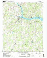
1997 Map of Catawba
USGS Topo · Published 2000About this map
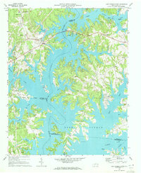
Catawba and the small settlement of Bandy anchor this landscape along the Catawba River and the sprawling waters of Lake Norman. The map highlights a rich collection of rural community landmarks, notably the Bunker Hill Covered Bridge and the industrial heritage represented by Murrays Mill and its adjacent Murrays Mill Lake. Educational history is preserved through labels like the Catawba Rosenwald Sch, while the religious and social fabric of the area is evident in numerous country churches and cemeteries, including Providence Ch and the Balls Creek Campgrounds.
Find a feature on this map
48 named features on this map. Tap any name to fly to it.
Don’t see what you’re looking for? This feature index may not catch every label — zoom into the map to look around manually.
Map Details
Editions of this 1997 Catawba Map
This is the sole edition of this map. No revisions or reprints were ever made.
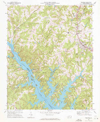
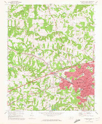
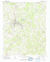
Other maps of this area

1893 · Statesville
USGS Topo · 1:125,000

1895 · Hickory
USGS Topo · 1:125,000

1953 · Charlotte
USGS Topo · 1:250,000

1954 · Charlotte
USGS Topo · 1:250,000

1960 · Charlotte
USGS Topo · 1:250,000

1962 · Charlotte
USGS Topo · 1:250,000
1969 · Troutman
USGS Topo · 1:24,000
1969 · Statesville West
USGS Topo · 1:24,000
1970 · Maiden
USGS Topo · 1:24,000
1970 · Lake Norman North
USGS Topo · 1:24,000