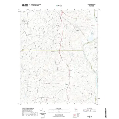
2020 Map of Catawba
USGS Topo · Published 2020About this map
The Catawba River winds through this South Carolina landscape, defining the boundaries where York, Chester, and Lancaster counties meet. Small rural communities like Harmony and Catawba anchor the region, connected by a network of local roads such as S Anderson Rd and Hall Spencer Rd. The landscape is etched by numerous watercourses, including Tinkers Creek and Fishing Creek, which flow through the undulating terrain toward the main river channel. Local life is historically centered around community institutions like Harmony Ch, Oakland Ch, and the Catawba Sch, while the presence of the Norfolk Southern railroad line indicates the enduring importance of rail transport for this corridor. In the southern reach of the map, Landsford and Rowell sit near the river, surrounded by a topography marked by ridges and seasonal streambeds like Hicklin Br and McFadden Br.
Find a feature on this map
129 named features on this map. Tap any name to fly to it.
Don’t see what you’re looking for? This feature index may not catch every label — zoom into the map to look around manually.
Map Details
Editions of this 2020 Catawba Map
This is the sole edition of this map. No revisions or reprints were ever made.
Other maps of this area

1941 · Spartanburg
USGS Topo · 1:250,000

1949 · Rock Hill
USGS Topo · 1:62,500

1953 · Spartanburg
USGS Topo · 1:250,000

1960 · Spartanburg
USGS Topo · 1:250,000

1963 · Spartanburg
USGS Topo · 1:250,000

1964 · Spartanburg
USGS Topo · 1:250,000

1968 · Van Wyck
USGS Topo · 1:24,000

1968 · Catawba
USGS Topo · 1:24,000
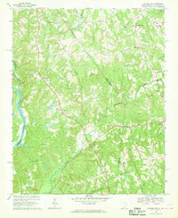
1968 · Catawba NE
USGS Topo · 1:24,000
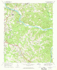
1968 · Rock Hill East
USGS Topo · 1:24,000