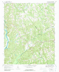
1968 Map of Catawba NE
USGS Topo · Published 1989About this map
The Catawba River defines the western edge of this landscape where the borders of South Carolina and North Carolina converge. This survey captures a rural network of small communities and crossroads churches that anchored life in the late 1960s. The Seaboard Coast Line railroad cuts across the southern portion of the sheet, connecting Hancock and Waxhaw. The interior is characterized by a dense system of watercourses, including Twelvemile Creek and Sugar Creek, which shaped the placement of early settlements like Belair and Newtown. Local history is deeply embedded in the numerous spiritual and educational sites, from the Indian Land High Sch to several family-named or congregational landmarks such as Banks Ch, Steel Hill Ch, and Rehobeth Ch. The map also details early transportation routes like Old Lancaster Road and Cuthbertson Rd, illustrating the transition from historic wagon roads to modernized local infrastructure.
Find a feature on this map
54 named features on this map. Tap any name to fly to it.
Don’t see what you’re looking for? This feature index may not catch every label — zoom into the map to look around manually.
Map Details
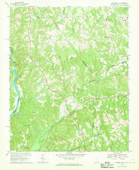
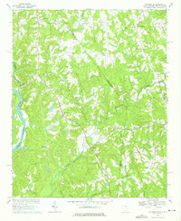
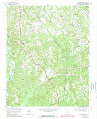
Editions of this 1968 Catawba NE Map
4 editions found
Other maps of this area

1905 · Charlotte
USGS Topo · 1:48,000

1907 · Charlotte
USGS Topo · 1:62,500

1941 · Charlotte
USGS Topo · 1:125,000

1941 · Spartanburg
USGS Topo · 1:250,000

1942 · Charlotte
USGS Topo · 1:125,000

1953 · Spartanburg
USGS Topo · 1:250,000

1953 · Charlotte
USGS Topo · 1:250,000

1954 · Charlotte
USGS Topo · 1:250,000

1960 · Charlotte
USGS Topo · 1:250,000

1960 · Spartanburg
USGS Topo · 1:250,000