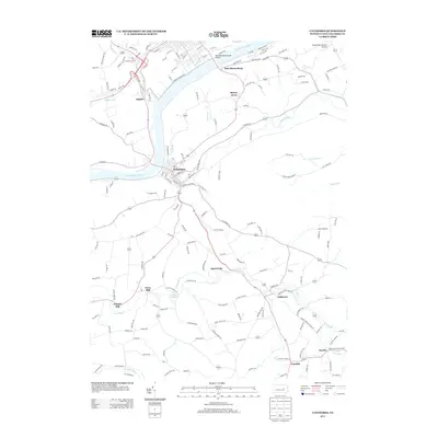
2013 Map of Catawissa
USGS Topo · Published 2013About this map
The Susquehanna River serves as the central corridor for this 2013 survey, where the town of Catawissa sits at the confluence with Catawissa Cr. This region of Columbia County exhibits a settlement pattern defined by small, valley-oriented communities and legacy industrial sites. Local historians can trace the positions of Parrs Mill and Pensyls Mill along Roaring Cr, documenting the milling heritage that once anchored these rural economies.
Find a feature on this map
161 named features on this map. Tap any name to fly to it.
Don’t see what you’re looking for? This feature index may not catch every label — zoom into the map to look around manually.
Map Details
Editions of this 2013 Catawissa Map
This is the sole edition of this map. No revisions or reprints were ever made.
Other maps of this area

1889 · Catawissa
USGS Topo · 1:62,500

1892 · Catawissa
USGS Topo · 1:62,500

1892 · Shamokin
USGS Topo · 1:62,500

1893 · Shamokin
USGS Topo · 1:62,500

1894 · Catawissa
USGS Topo · 1:62,500

1894 · Bloomsburg
USGS Topo · 1:62,500

1935 · Hughesville
USGS Topo · 1:62,500

1943 · Shamokin
USGS Topo · 1:62,500

1947 · Bloomsburg
USGS Topo · 1:24,000

1947 · Ashland
USGS Topo · 1:24,000
Featured Places
- Bloomsburg, PA
- Scott Township, PA
- Numidia, Locust Township
- East Bloomsburg, Catawissa Township
- Locust Township, PA