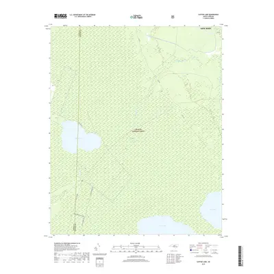
2019 Map of Catfish Lake
USGS Topo · Published 2019About this map
Croatan National Forest dominates this coastal landscape, characterized by a complex network of wetlands and prominent blackwater lakes. The three major water bodies — Catfish Lake, Great Lake, and Long Lake — define the terrain, surrounded by a dense matrix of swamps and pocosin habitats. These lakes are connected by a system of winding creeks and drainages, including the W Prong Brice Cr and E Prong Brice Cr, which flow northward toward New Bern. The human imprint on this wilderness is defined by specialized transport routes such as Black Swamp OHV and the Black Swamp OHV Spur, indicating the area's modern use for recreation within the forest boundaries. Access to the interior is facilitated by named thoroughfares like Little Rd and Cat Fish Farm Rd, reflecting the localized rural and agricultural history at the edge of the forest.
Find a feature on this map
17 named features on this map. Tap any name to fly to it.
Don’t see what you’re looking for? This feature index may not catch every label — zoom into the map to look around manually.
Map Details
Editions of this 2019 Catfish Lake Map
This is the sole edition of this map. No revisions or reprints were ever made.
Other maps of this area

1901 · New Bern
USGS Topo · 1:62,500

1903 · New Bern
USGS Topo · 1:62,500

1942 · Maysville
USGS Topo · 1:62,500

1948 · Maysville
USGS Topo · 1:62,500

1949 · Havelock
USGS Topo · 1:24,000

1949 · Masontown
USGS Topo · 1:24,000

1950 · Pollocksville
USGS Topo · 1:24,000

1950 · New Bern
USGS Topo · 1:24,000

1950 · Upper Broad Creek
USGS Topo · 1:24,000

1951 · Masontown
USGS Topo · 1:24,000