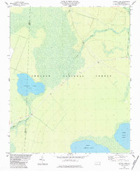
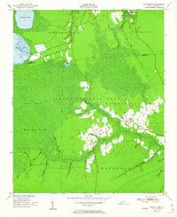
1984 Map of Catfish Lake
USGS Topo · Published 1984About this map
Croatan National Forest dominates this low-lying coastal landscape along the border of Jones Co and Craven Co. This 1980s-era topographic study highlights a region defined by substantial pocosin wetlands and interior water bodies, including Catfish Lake and Great Lake. The drainage network is characterized by the slow-moving headwaters of Brice Creek, which branches into the East Prong and West Prong Brice Creek. Aside from a few unimproved roads and state routes, the terrain remains largely undeveloped, preserving the character of the Carolina coastal plain. The presence of Long Lake and the expansive Black Swamp suggests a landscape shaped by poor drainage and seasonal inundation, a hallmark of the eastern North Carolina wilderness during this period.
Find a feature on this map
9 named features on this map. Tap any name to fly to it.
Don’t see what you’re looking for? This feature index may not catch every label — zoom into the map to look around manually.
Map Details
Editions of this 1984 Catfish Lake Map
This is the sole edition of this map. No revisions or reprints were ever made.
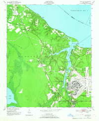
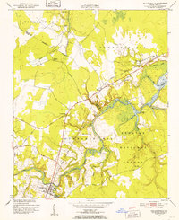
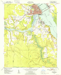
Other maps of this area

1901 · New Bern
USGS Topo · 1:62,500

1903 · New Bern
USGS Topo · 1:62,500

1942 · Maysville
USGS Topo · 1:62,500

1948 · Maysville
USGS Topo · 1:62,500
1949 · Havelock
USGS Topo · 1:24,000

1949 · Masontown
USGS Topo · 1:24,000
1950 · Pollocksville
USGS Topo · 1:24,000
1950 · New Bern
USGS Topo · 1:24,000
1950 · Upper Broad Creek
USGS Topo · 1:24,000
1951 · Masontown
USGS Topo · 1:24,000