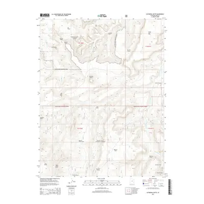
2014 Map of Cathedral Butte
USGS Topo · Published 2014About this map
Canyonlands National Park and the Manti-LaSal National Forest meet in this high-desert landscape of San Juan County. The terrain is defined by dramatic geologic formations, including the prominent Cathedral Butte and several natural spans like Natural Bridge, Cleft Arch, and the distinctive Wedding Ring Arch. The presence of Mormon Pasture and Mormon Pasture Point indicates the area's history of high-altitude livestock grazing, while landmarks like Bridger Jack Mesa and Seven Sisters Buttes provide vertical orientation across the mesas.
Find a feature on this map
65 named features on this map. Tap any name to fly to it.
Don’t see what you’re looking for? This feature index may not catch every label — zoom into the map to look around manually.
Map Details
Editions of this 2014 Cathedral Butte Map
This is the sole edition of this map. No revisions or reprints were ever made.
Other maps of this area

1885 · La Sal
USGS Topo · 1:250,000

1886 · Abajo
USGS Topo · 1:250,000

1892 · Abajo
USGS Topo · 1:250,000

1893 · Abajo
USGS Topo · 1:250,000

1935 · Elk Ridge
USGS Topo · 1:96,000

1940 · Elk Ridge
USGS Topo · 1:125,000

1953 · The Needles
USGS Topo · 1:62,500

1954 · Elk Ridge 1 SW
USGS Topo · 1:24,000

1954 · Elk Ridge 2 SE
USGS Topo · 1:24,000

1954 · Elk Ridge 1 NW
USGS Topo · 1:24,000