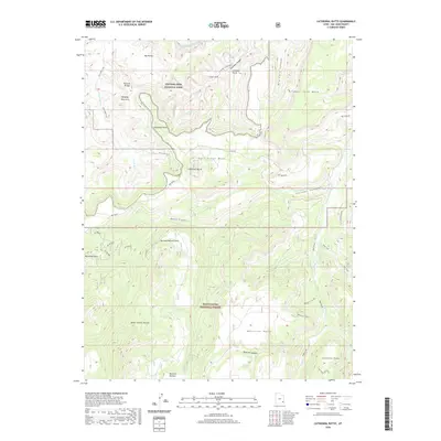
2020 Map of Cathedral Butte
USGS Topo · Published 2020About this map
Canyonlands National Park and the Manti-La Sal National Forest meet in this high-desert landscape of San Juan County, defined by complex erosion and remote plateaus. The topography is dominated by massive landforms like Salt Creek Mesa and Bridger Jack Mesa, while the subsurface drainage has carved distinctive geological features such as Wedding Ring Arch, Cleft Arch, and a Natural Bridge.
Find a feature on this map
35 named features on this map. Tap any name to fly to it.
Don’t see what you’re looking for? This feature index may not catch every label — zoom into the map to look around manually.
Map Details
Editions of this 2020 Cathedral Butte Map
This is the sole edition of this map. No revisions or reprints were ever made.
Other maps of this area

1885 · La Sal
USGS Topo · 1:250,000

1886 · Abajo
USGS Topo · 1:250,000

1892 · Abajo
USGS Topo · 1:250,000

1893 · Abajo
USGS Topo · 1:250,000

1935 · Elk Ridge
USGS Topo · 1:96,000

1940 · Elk Ridge
USGS Topo · 1:125,000

1953 · The Needles
USGS Topo · 1:62,500

1954 · Elk Ridge 1 SW
USGS Topo · 1:24,000

1954 · Elk Ridge 2 SE
USGS Topo · 1:24,000

1954 · Elk Ridge 1 NW
USGS Topo · 1:24,000