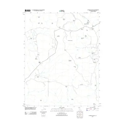
2012 Map of Catheys Valley
USGS Topo · Published 2012About this map
Catheys Valley serves as a central hub in this Mariposa County landscape, where the Sierra Nevada foothills are marked by an intricate network of drainage gulches and seasonal creeks. The mapping of Agua Fria and nearby Tailings Gulch points to the region's long association with mineral extraction and early California history. Notable for genealogists, the Catheys Valley Cem and established landmarks like Stonehouse and Savages Trading Post provide fixed points of reference for tracing early land use and settlement patterns. The terrain is defined by a series of prominent ridges, including Mockingbird Ridge and Rattlesnake Ridge, which channel water toward Owens Cr and Mariposa Cr. From the Guadalupe Lookout in the Guadalupe Mountains, the geography transitions from flats like Trabucco Flat to the higher elevations of Ward Mountain, illustrating the varied topography that dictated the placement of historic routes like Old Hwy.
Find a feature on this map
73 named features on this map. Tap any name to fly to it.
Don’t see what you’re looking for? This feature index may not catch every label — zoom into the map to look around manually.
Map Details
Editions of this 2012 Catheys Valley Map
This is the sole edition of this map. No revisions or reprints were ever made.
Other maps of this area

1893 · Sonora
USGS Topo · 1:125,000

1896 · Sonora
USGS Topo · 1:125,000

1897 · Sonora
USGS Topo · 1:125,000

1897 · Yosemite
USGS Topo · 1:125,000

1898 · Sonora
USGS Topo · 1:125,000

1900 · Yosemite
USGS Topo · 1:125,000

1903 · Yosemite
USGS Topo · 1:125,000

1909 · Yosemite
USGS Topo · 1:125,000

1912 · Mariposa
USGS Topo · 1:125,000

1915 · Owens Creek
USGS Topo · 1:31,680