Old Maps of Agua Fria, California
Explore 14 old maps of Agua Fria, spanning from 1919 to today. These high-resolution historic maps reveal how streets, neighborhoods, landmarks, and natural features evolved over time — perfect for genealogy, metal detecting, research, and local history exploration.
What you can do with these maps:
- See how Agua Fria changed over time: Compare historical maps to modern-day views to trace roads, homesites, rail lines & more.
- View detailed metadata: Each map includes creators, publishers, year, scale, and archive source.
- Overlay maps with satellite & LiDAR: Visualize the past alongside modern tools to explore terrain & human change.
- Trusted historical sources: Maps sourced from the USGS, Library of Congress, and other archives.
- Access maps your way: View online, download high-res files, or order prints for personal or research use.
Start exploring old maps of Agua Fria to uncover forgotten places, hidden landmarks, and the deep history beneath your feet.
Agua Fria, CA maps
(14)- 1919 Map of Indian Gulch
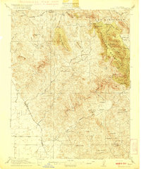
 1919 Indian Gulch1919 Print · USGSMariposa County mining and ranching life are captured here during the mid-1910s, showing a rugged landscape transitioning from frontier camps to established districts. Researchers can locate remote operations like the Pocahontas Mine and early rural education sites like White Rock School.
 - 1920 Map of Indian Gulch
 1920 Indian Gulch1920 Print · USGSMariposa County at the height of its early mining and ranching era is captured in this meticulous 1920s-era topographic survey. Researchers can trace family history at the Hornitos School or locate historic claims like the Ruth Pierce Mine and Johnnie Green Mine.3 unique versions available
 - 1947 Map of San Jose, 1948 Print
 1947 San Jose1948 Print · USGSNorthern California's heartland is captured here just after the war, showing the rapid growth of the Santa Clara and Central Valleys. Researchers can trace the legacy of rail and water at Castle Air Force Base, Stockton, and the Hetch Hetchy Aqueduct.
 - 1954 Map of Indian Gulch, 1956 Print
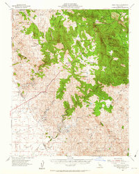 1954 Indian Gulch1956 Print · USGSThe foothills of the Sierra Nevada come alive in this mid-century survey of the Mariposa gold country. Researchers can trace family ranching and mining history at Hornitos, the Cathay Cem, and numerous old workings like the Klondike Mine.2 unique versions available
 - 1956 Map of San Jose
 1956 San Jose1956 Print · USGSCentral California in the mid-fifties reveals the transition from sprawling orchards to growing urban hubs like San Jose and Stockton. Genealogists and historians can trace the rail-era landscape of the Mother Lode through Chinese Camp and Tuttletown, or follow the water through the Joaquin River and Calaveras Reservoir.
 - 1962 Map of San Jose
 1962 San Jose1962 Print · USGSCentral California in the early sixties showcases the expansion of the San Joaquin and Santa Clara valleys. Researchers can trace the rail-to-road transition along the Southern Pacific RR or locate landmarks like Castle USAF Base and Loma Prieta.4 unique versions available
 - 1962 Map of Indian Gulch, 1964 Print
 1962 Indian Gulch1964 Print · USGSMariposa County gold country is captured here during the early 1960s, showing a landscape shaped by mining and cattle ranching. Researchers can trace historic family properties and burial grounds like Pate Cem, Savages Trading Post, and the Ruth Pierce Mine.
 - 1962 Map of Catheys Valley, 1964 Print
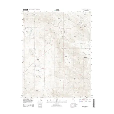
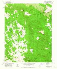 1962 Catheys Valley1964 Print · USGSMariposa County life in the early sixties centers on the foothill settlement of Catheys Valley and its surrounding ranchlands. Genealogists and historians can trace old homesteads and landmarks like Stonehouse, the Catheys Valley Cemetery, and Savages Trading Post.5 unique versions available
 - 1966 Map of San Jose
 1966 San Jose1966 Print · USGSCentral California in the mid-1960s reveals a landscape of massive irrigation projects and expanding Cold War military footprints. Researchers can trace the rail-and-river network of the San Joaquin Valley or locate specialized sites like Castle Air Force Base and the Sharp General Depot (Military).
 - 1983 Map of Merced
 1983 Merced1983 Print · USGSThe San Joaquin Valley at the start of the eighties is captured here in its full agricultural and military height. Trace the legacy of Castle Air Force Base, old mines like Pocahontas Mine, and the vast Kesterson National Wildlife Refuge.
 - 2012 Map of Catheys Valley, 2012 Print
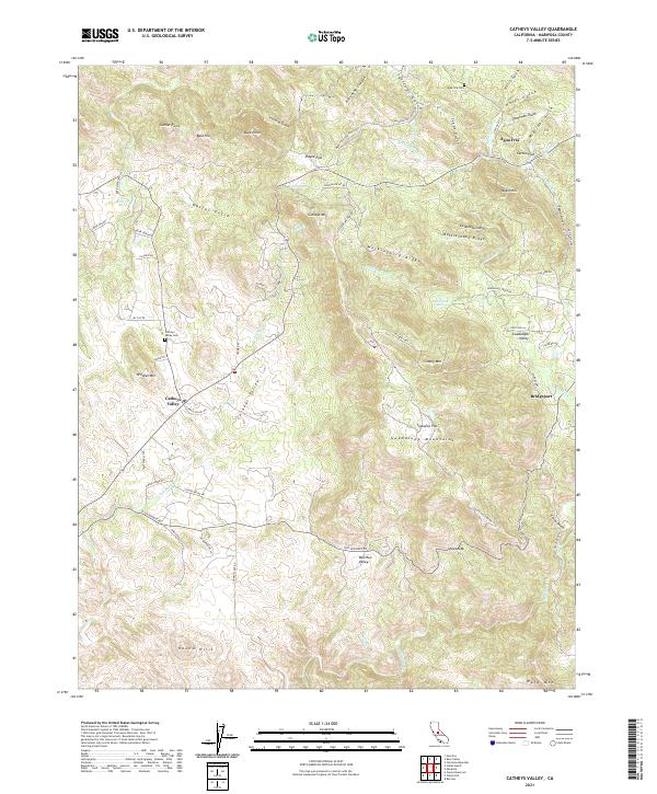
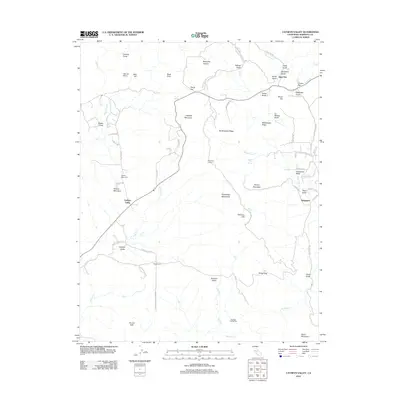 2012 Catheys Valley2012 Print · USGSCovers Agua Fria, including Catheys Valley, Bridgeport, and other nearby areas
 - 2015 Map of Catheys Valley, 2015 Print
 2015 Catheys Valley2015 Print · USGSCovers Agua Fria, including Catheys Valley, Bridgeport, and other nearby areas
 - 2018 Map of Catheys Valley, 2018 Print
 2018 Catheys Valley2018 Print · USGSCovers Agua Fria, including Catheys Valley, Bridgeport, and other nearby areas
 - 2021 Map of Catheys Valley, 2021 Print
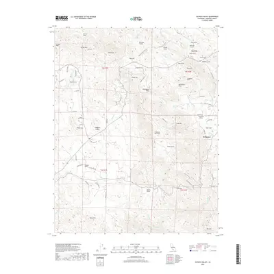
 2021 Catheys Valley2021 Print · USGSMariposa County foothills are documented in the early 2020s, showing a landscape of deep gulches and high ridges around Catheys Valley. Researchers can locate historic sites like Agua Fria Cem and the small settlements of Agua Fria and Bridgeport.
End of results
Showing maps 1-14 of 14
Frequently asked questions
- What are the different types of historical maps available for Agua Fria?
- What is the oldest map of Agua Fria?
- Where can I purchase historical maps of Agua Fria for my home or office?
- Where can I download high-res historical maps of Agua Fria?
- Are there historical topographic maps available for Agua Fria?
- Is there historical aerial imagery available for Agua Fria?
- Where are historical maps of Agua Fria sourced from?