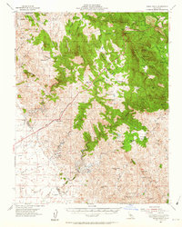
1954 Map of Indian Gulch
USGS Topo · Published 1956About this map
Hornitos and the surrounding foothill country of the Sierra Nevada are captured here during a period of transition in the mid-1950s. The landscape is defined by a dense network of hard-rock mining operations, including the Ruth Pierce Mine, Saint Marys Mine, and the Pocahontas Mine, many of which were central to the regional economy since the Gold Rush. This survey reflects the persistence of cattle ranching alongside the older mineral extractive industries, as evidenced by large holdings like Chase Ranch and Round Hills Ranch. The presence of small community hubs is marked by rural institutions such as the Hornitos School and Cathay School, while the Yosemite Highway cuts through the rugged terrain of Schultz Mountain and Wildcat Mtn, connecting these remote settlements to the larger Central Valley.
Find a feature on this map
74 named features on this map. Tap any name to fly to it.
Don’t see what you’re looking for? This feature index may not catch every label — zoom into the map to look around manually.
Map Details
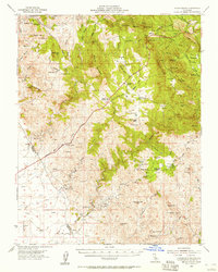
Editions of this 1954 Indian Gulch Map
2 editions found
Other maps of this area

1893 · Sonora
USGS Topo · 1:125,000

1896 · Sonora
USGS Topo · 1:125,000

1897 · Sonora
USGS Topo · 1:125,000

1897 · Yosemite
USGS Topo · 1:125,000

1898 · Sonora
USGS Topo · 1:125,000

1900 · Yosemite
USGS Topo · 1:125,000

1903 · Yosemite
USGS Topo · 1:125,000

1909 · Yosemite
USGS Topo · 1:125,000

1912 · Mariposa
USGS Topo · 1:125,000

1915 · Owens Creek
USGS Topo · 1:31,680