
1920 Map of Indian Gulch
USGS Topo · Published 1920About this map
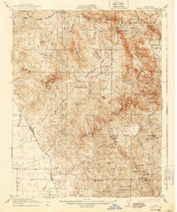
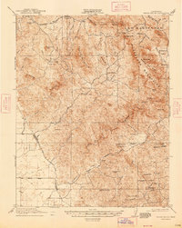
Las Mariposas dominates the northeastern landscape of this 1915–1916 survey, a region defined by its intensive early mining history and scattered ranching outposts. The map documents a rugged interior where numerous named mines, including the Ruth Pierce Mine, Lost Douglas Mine, and Sorrel Mine, follow the mineral-rich veins of the Guadalupe Mountains. These industrial sites are linked by the Stockton and Mariposa Road, illustrating the movement of ore and supplies during California's post-Gold Rush development.
Find a feature on this map
75 named features on this map. Tap any name to fly to it.
Don’t see what you’re looking for? This feature index may not catch every label — zoom into the map to look around manually.
Map Details
Editions of this 1920 Indian Gulch Map
3 editions found
Other maps of this area

1893 · Sonora
USGS Topo · 1:125,000

1896 · Sonora
USGS Topo · 1:125,000

1897 · Sonora
USGS Topo · 1:125,000

1897 · Yosemite
USGS Topo · 1:125,000

1898 · Sonora
USGS Topo · 1:125,000

1900 · Yosemite
USGS Topo · 1:125,000

1903 · Yosemite
USGS Topo · 1:125,000

1909 · Yosemite
USGS Topo · 1:125,000

1912 · Mariposa
USGS Topo · 1:125,000

1915 · Owens Creek
USGS Topo · 1:31,680