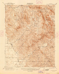
1920 Map of Indian Gulch
USGS Topo · Published 1947About this map
The Guadalupe Mountains and the lower foothills of the Sierra Nevada define this 1920 survey of the Mariposa gold country. The map captures a landscape transitioning from pioneer ranching to organized extraction, characterized by an extensive network of named mines like the Ruth Pierce Mine and the Pocahontas Mine. Local social infrastructure is well-documented through a series of rural education centers, including the Hornitos School, Orange School, and Dennet School, which served the scattered families of the Las Mariposas grant and surrounding canyons.
Find a feature on this map
76 named features on this map. Tap any name to fly to it.
Don’t see what you’re looking for? This feature index may not catch every label — zoom into the map to look around manually.
Map Details
Editions of this 1920 Indian Gulch Map
3 editions found

Other maps of this area

1893 · Sonora
USGS Topo · 1:125,000

1896 · Sonora
USGS Topo · 1:125,000

1897 · Sonora
USGS Topo · 1:125,000

1897 · Yosemite
USGS Topo · 1:125,000

1898 · Sonora
USGS Topo · 1:125,000

1900 · Yosemite
USGS Topo · 1:125,000

1903 · Yosemite
USGS Topo · 1:125,000

1909 · Yosemite
USGS Topo · 1:125,000

1912 · Mariposa
USGS Topo · 1:125,000

1915 · Owens Creek
USGS Topo · 1:31,680