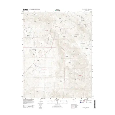
2015 Map of Catheys Valley
USGS Topo · Published 2015About this map
Catheys Valley serves as a central point of this Mariposa County landscape, where ranching and mountain terrain meet. The Catheys Valley Cemetery provides a grounded reference for family historians near Catheys Mtn and the winding School House Rd. To the northeast, the settlement of Agua Fria sits near numerous named gulches and flats, including Carson Flat and Specimen Gulch, hinting at the area's prospecting and mining heritage.
Find a feature on this map
107 named features on this map. Tap any name to fly to it.
Don’t see what you’re looking for? This feature index may not catch every label — zoom into the map to look around manually.
Map Details
Editions of this 2015 Catheys Valley Map
This is the sole edition of this map. No revisions or reprints were ever made.
Other maps of this area

1893 · Sonora
USGS Topo · 1:125,000

1896 · Sonora
USGS Topo · 1:125,000

1897 · Sonora
USGS Topo · 1:125,000

1897 · Yosemite
USGS Topo · 1:125,000

1898 · Sonora
USGS Topo · 1:125,000

1900 · Yosemite
USGS Topo · 1:125,000

1903 · Yosemite
USGS Topo · 1:125,000

1909 · Yosemite
USGS Topo · 1:125,000

1912 · Mariposa
USGS Topo · 1:125,000

1915 · Owens Creek
USGS Topo · 1:31,680