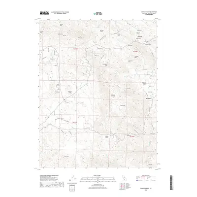
2018 Map of Catheys Valley
USGS Topo · Published 2018About this map
Catheys Valley sits at a crossroads of Sierra Nevada history, where the foothills transition from grazing land to the steep drainages of the Guadalupe Mountains. This survey illustrates a landscape deeply marked by early California industry, particularly evident in the presence of Tailings Gulch and Specimen Gulch near the settlement of Agua Fria. These names point toward the region's mining heritage, which influenced the distribution of homesteads and local infrastructure like School House Road.
Find a feature on this map
73 named features on this map. Tap any name to fly to it.
Don’t see what you’re looking for? This feature index may not catch every label — zoom into the map to look around manually.
Map Details
Editions of this 2018 Catheys Valley Map
This is the sole edition of this map. No revisions or reprints were ever made.
Other maps of this area

1893 · Sonora
USGS Topo · 1:125,000

1896 · Sonora
USGS Topo · 1:125,000

1897 · Sonora
USGS Topo · 1:125,000

1897 · Yosemite
USGS Topo · 1:125,000

1898 · Sonora
USGS Topo · 1:125,000

1900 · Yosemite
USGS Topo · 1:125,000

1903 · Yosemite
USGS Topo · 1:125,000

1909 · Yosemite
USGS Topo · 1:125,000

1912 · Mariposa
USGS Topo · 1:125,000

1915 · Owens Creek
USGS Topo · 1:31,680