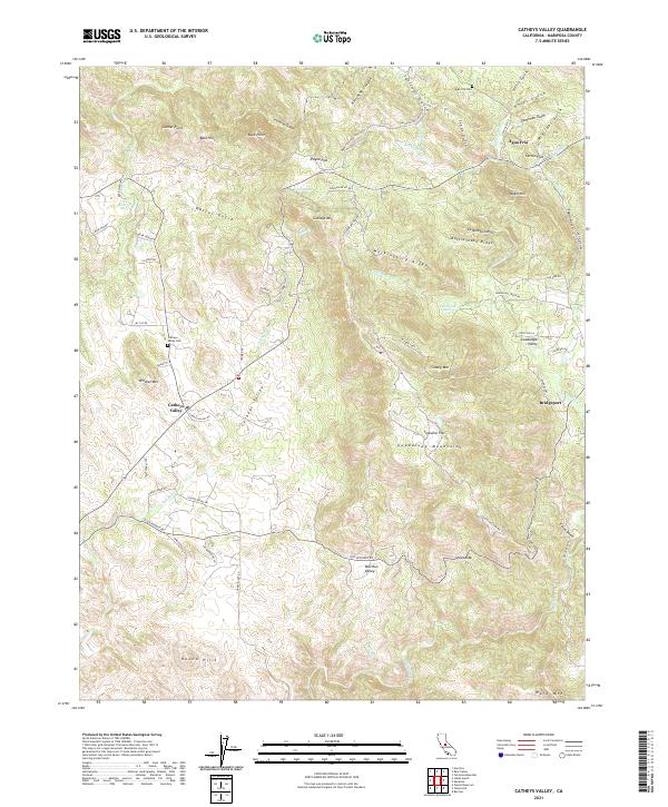
2021 Map of Catheys Valley
USGS Topo · Published 2021About this map
Catheys Valley occupies a prominent depression in the foothills of the Sierra Nevada, where the drainage of Owens Cr and Mariposa Cr shapes the landscape. This 2021 survey shows a region defined by its narrow gulches and ridgelines, including the Guadalupe Mountains and the prominent Catheys Mtn. The settlement pattern follows the contours of the land, with small clusters like Agua Fria and Bridgeport serving as historic touchpoints.
Find a feature on this map
73 named features on this map. Tap any name to fly to it.
Don’t see what you’re looking for? This feature index may not catch every label — zoom into the map to look around manually.
Map Details
Editions of this 2021 Catheys Valley Map
This is the sole edition of this map. No revisions or reprints were ever made.
Other maps of this area

1893 · Sonora
USGS Topo · 1:125,000

1896 · Sonora
USGS Topo · 1:125,000

1897 · Sonora
USGS Topo · 1:125,000

1897 · Yosemite
USGS Topo · 1:125,000

1898 · Sonora
USGS Topo · 1:125,000

1900 · Yosemite
USGS Topo · 1:125,000

1903 · Yosemite
USGS Topo · 1:125,000

1909 · Yosemite
USGS Topo · 1:125,000

1912 · Mariposa
USGS Topo · 1:125,000

1915 · Owens Creek
USGS Topo · 1:31,680