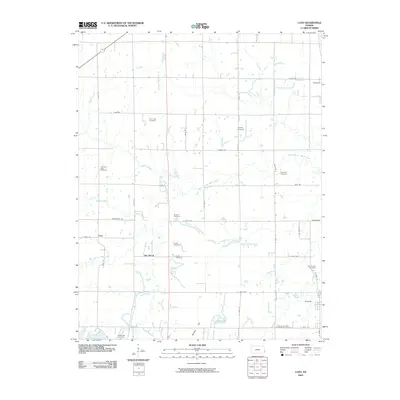
2009 Map of Cato
USGS Topo · Published 2009About this map
Arcadia and the surrounding Crawford County countryside are documented in this 2009 survey, revealing a landscape deeply rooted in agrarian history and community genealogy. The area is defined by the winding paths of West Fork Dry Wood Creek and Richland Creek, which shape the local topography around small settlements like Cato and Dry Wood. A significant number of family and community burial grounds are found throughout the quadrangle, including the Old Arcadia Cemetery, Pine Lawn Cemetery, and Tweedy Cemetery, providing a dense record of the region's early settlers and family lines.
Find a feature on this map
31 named features on this map. Tap any name to fly to it.
Don’t see what you’re looking for? This feature index may not catch every label — zoom into the map to look around manually.
Map Details
Editions of this 2009 Cato Map
This is the sole edition of this map. No revisions or reprints were ever made.
Other maps of this area

1884 · Fort Scott
USGS Topo · 1:125,000

1886 · Fort Scott
USGS Topo · 1:125,000

1893 · Fort Scott
USGS Topo · 1:125,000

1939 · Deerfield
USGS Topo · 1:24,000

1942 · Deerfield
USGS Topo · 1:24,000

1947 · Joplin
USGS Topo · 1:250,000

1948 · Mulberry
USGS Topo · 1:62,500
1948 · Liberal
USGS Topo · 1:24,000

1948 · Girard
USGS Topo · 1:62,500
1948 · Garland
USGS Topo · 1:24,000