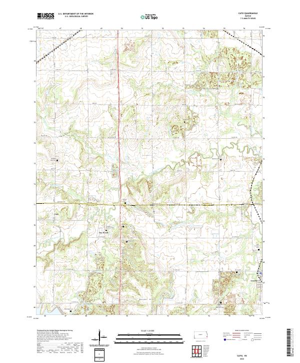
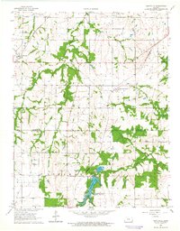
2022 Map of Cato
USGS Topo · Published 2022This historical map portrays the area of Cato in 2022, primarily covering Bourbon County as well as portions of Crawford County. Featuring a scale of 1:24000, this map provides a highly detailed snapshot of the terrain, roads, buildings, counties, and historical landmarks in the Cato region at the time. Published in 2022, it is the sole known edition of this map.
Map Details
Editions of this 2022 Cato Map
This is the sole edition of this map. No revisions or reprints were ever made.
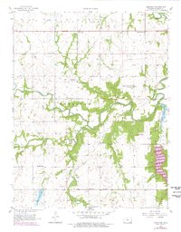
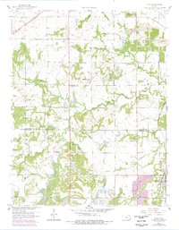
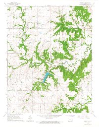
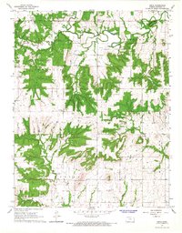
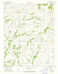
Historical Maps of Dry Wood Through Time
14 maps found
1958 Hammond
Bourbon County, KS
1958 Marmaton
Bourbon County, KS
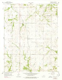
1959 Cato
Bourbon County, KS
1964 Hiattville
Bourbon County, KS
1966 Moran SE
Bourbon County, KS
1966 Xenia
Bourbon County, KS
1973 Porterville
Bourbon County, KS
2022 Cato
Bourbon County, KS
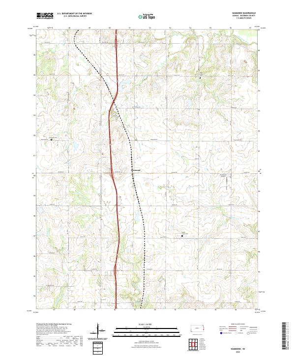
2022 Hammond
Bourbon County, KS
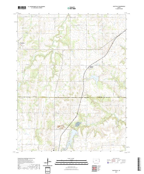
2022 Hiattville
Bourbon County, KS
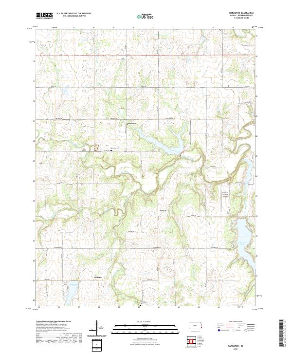
2022 Marmaton
Bourbon County, KS
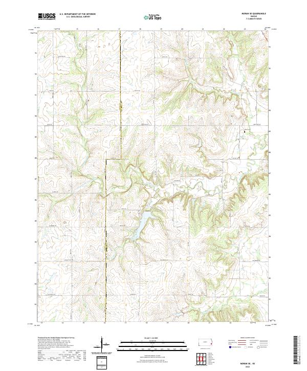
2022 Moran SE
Bourbon County, KS
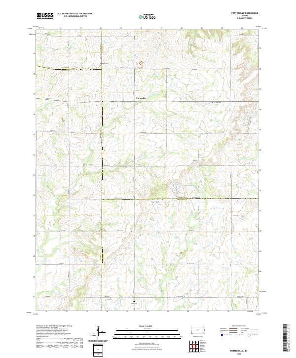
2022 Porterville
Bourbon County, KS
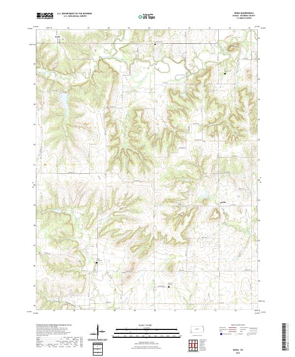
2022 Xenia
Bourbon County, KS