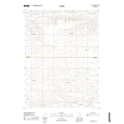
2017 Map of Cattail Ranch
USGS Topo · Published 2017About this map
Cattail Ranch sits within a landscape defined by an intricate network of drainages and seasonal watercourses along the border of Goshen and Laramie Counties. The area is characterized by the convergence of several significant creeks and runs, including the easterly flow of Cattail Cr and the northern reaches of Bear Cr. Human modification of the arid terrain is evident through features like the Durbin-Ditch, while the natural relief is marked by the distinctive Rocky Hollow and Bullwhacker Draw. A grid of rural roads, such as Bear Creek Rd and Kirkbride-Harding Rd, provides access across the expansive ranching country of southeastern Wyoming. This topography illustrates the reliance on named draws and springs in an environment where water management and cattle ranching shape the placement of homesteads and infrastructure.
Find a feature on this map
22 named features on this map. Tap any name to fly to it.
Don’t see what you’re looking for? This feature index may not catch every label — zoom into the map to look around manually.
Map Details
Editions of this 2017 Cattail Ranch Map
This is the sole edition of this map. No revisions or reprints were ever made.
Other maps of this area

1899 · Goshen Hole
USGS Topo · 1:125,000

1911 · Cheyenne
USGS Topo · 1:125,000

1914 · Cheyenne
USGS Topo · 1:125,000

1954 · Cheyenne
USGS Topo · 1:250,000

1958 · Cheyenne
USGS Topo · 1:250,000

1960 · Diamond Flat
USGS Topo · 1:24,000

1960 · Rocky Hollow
USGS Topo · 1:24,000

1963 · Little Indian Draw
USGS Topo · 1:24,000

1963 · Midway
USGS Topo · 1:24,000

1963 · C S Ranch
USGS Topo · 1:24,000