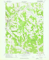
1963 Map of Cattaraugus
USGS Topo · Published 1978About this map
Cattaraugus and the village of Little Valley anchor this western New York landscape in the early 1960s, a region defined by steep hills and deep hollows. The Erie-Lackawanna railroad winds through the southwestern terrain, passing near the Cattaraugus Camp and the local Central High Sch. This era shows a community deeply connected to its land, with numerous family-named landmarks like Manning Hill, Bunkleman Hill, and Potter Hill rising above narrow valleys.
Find a feature on this map
64 named features on this map. Tap any name to fly to it.
Don’t see what you’re looking for? This feature index may not catch every label — zoom into the map to look around manually.
Map Details
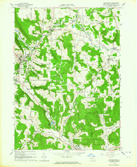
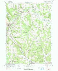
Editions of this 1963 Cattaraugus Map
3 editions found
Other maps of this area

1900 · Salamanca
USGS Topo · 1:62,500

1922 · Randolph
USGS Topo · 1:62,500

1923 · Randolph
USGS Topo · 1:62,500

1923 · Cattaraugus
USGS Topo · 1:62,500

1924 · Ellicottville
USGS Topo · 1:62,500

1938 · Cattaraugus
USGS Topo · 1:62,500

1938 · Salamanca
USGS Topo · 1:62,500

1941 · Cattaraugus
USGS Topo · 1:62,500

1941 · Ellicottville
USGS Topo · 1:62,500

1943 · Randolph
USGS Topo · 1:62,500