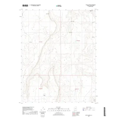
2018 Map of Cattle Canyon
USGS Topo · Published 2018About this map
Cattle Canyon and its complex network of seasonal drainage channels define this high-elevation landscape on the Navajo Nation. The terrain is characterized by massive landforms like Piute Mesa and Nokai Mesa, which rise sharply above the deep incisions of Nokai Canyon and Begashinitani Canyon. These dramatic elevation shifts create a territory defined by its verticality and water-scarce environment, where specific points like Fullers Spring represent rare and vital resources.
Find a feature on this map
16 named features on this map. Tap any name to fly to it.
Don’t see what you’re looking for? This feature index may not catch every label — zoom into the map to look around manually.
Map Details
Editions of this 2018 Cattle Canyon Map
This is the sole edition of this map. No revisions or reprints were ever made.
Other maps of this area

1883 · Marsh Pass
USGS Topo · 1:250,000

1886 · Henry Mountains
USGS Topo · 1:250,000

1892 · Marsh Pass
USGS Topo · 1:250,000

1892 · Henry Mountains
USGS Topo · 1:250,000

1952 · Shato Spring 1 NE
USGS Topo · 1:24,000

1952 · Agathla Peak 2 SW
USGS Topo · 1:24,000

1952 · Agathla Peak 2 NW
USGS Topo · 1:24,000

1952 · Boot Mesa
USGS Topo · 1:62,500

1952 · Clay Hills 3 SW
USGS Topo · 1:24,000

1952 · Navajo Mtn. 4 SE
USGS Topo · 1:24,000