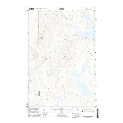
2014 Map of Caucomgomoc Lake West
USGS Topo · Published 2014About this map
Caucomgomoc Lake dominates the eastern horizon of this Saint John Township landscape, a vast water body defined by Hubbard Point, Rowe Cove, and Black Point. The interior terrain is shaped by significant elevations including Caucomgomoc Mtn and Hurd Mtn, while the southwestern reaches are marked by Telephone Hill. This remote Maine wilderness is threaded with logging routes like Russell Mountain Rd and Carson Pray Rd, which navigate a complex drainage system of brooks and ponds.
Find a feature on this map
28 named features on this map. Tap any name to fly to it.
Don’t see what you’re looking for? This feature index may not catch every label — zoom into the map to look around manually.
Map Details
Editions of this 2014 Caucomgomoc Lake West Map
This is the sole edition of this map. No revisions or reprints were ever made.
Other maps of this area

1954 · Baker Lake
USGS Topo · 1:62,500

1954 · Caucomgomoc Lake
USGS Topo · 1:62,500

1954 · Allagash Lake
USGS Topo · 1:62,500

1954 · St. John Pond
USGS Topo · 1:62,500

1954 · Presque Isle
USGS Topo · 1:250,000

1958 · Presque Isle
USGS Topo · 1:250,000

1958 · Caucomgomoc Lake
USGS Topo · 1:62,500

1958 · Saint John Pond
USGS Topo · 1:62,500

1960 · Presque Isle
USGS Topo · 1:250,000

1961 · Allagash Lake
USGS Topo · 1:62,500