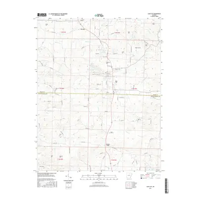
2017 Map of Cave City
USGS Topo · Published 2017About this map
Cave City serves as the central hub of this northern Arkansas landscape, straddling the border of Sharp Co and Independence Co. The town is characterized by its orderly residential streets such as Woodland St and School Rd, and several community landmarks including the Cave City Cem. North of the main settlement, the terrain is marked by distinctive elevations like Willmuth Hill and the uniquely named Goat Den, while the community of Maxville sits further north along the Highway 167 corridor.
Find a feature on this map
108 named features on this map. Tap any name to fly to it.
Don’t see what you’re looking for? This feature index may not catch every label — zoom into the map to look around manually.
Map Details
Editions of this 2017 Cave City Map
This is the sole edition of this map. No revisions or reprints were ever made.
Other maps of this area

1890 · Batesville
USGS Topo · 1:125,000

1891 · Batesville
USGS Topo · 1:125,000

1932 · Strawberry
USGS Topo · 1:62,500

1935 · Strawberry
USGS Topo · 1:62,500

1941 · Strawberry
USGS Topo · 1:62,500

1942 · Batesville
USGS Topo · 1:31,680

1943 · Sandtown
USGS Topo · 1:24,000

1943 · Cave City
USGS Topo · 1:31,680

1943 · Sulphur Rock
USGS Topo · 1:31,680

1943 · Batesville
USGS Topo · 1:24,000