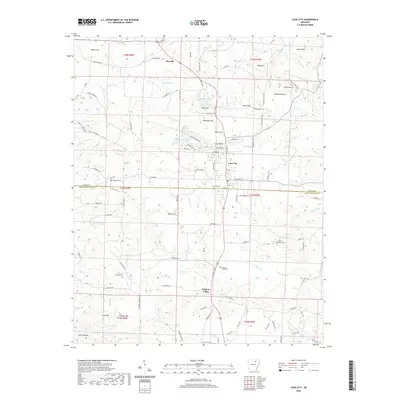
2020 Map of Cave City
USGS Topo · Published 2020About this map
Cave City sits at the heart of this landscape, straddling the border between Sharp and Independence counties. The settlement pattern is defined by a dense network of country roads connecting scattered homesteads and small communities like Maxville and Hickory Valley. The area is notably dense with family and community burial grounds, including the Maxville Cem, Palestine Cem, and Ball Cem, which provide significant points of interest for genealogical research.
Find a feature on this map
114 named features on this map. Tap any name to fly to it.
Don’t see what you’re looking for? This feature index may not catch every label — zoom into the map to look around manually.
Map Details
Editions of this 2020 Cave City Map
This is the sole edition of this map. No revisions or reprints were ever made.
Other maps of this area

1890 · Batesville
USGS Topo · 1:125,000

1891 · Batesville
USGS Topo · 1:125,000

1932 · Strawberry
USGS Topo · 1:62,500

1935 · Strawberry
USGS Topo · 1:62,500

1941 · Strawberry
USGS Topo · 1:62,500

1942 · Batesville
USGS Topo · 1:31,680

1943 · Sandtown
USGS Topo · 1:24,000

1943 · Cave City
USGS Topo · 1:31,680

1943 · Sulphur Rock
USGS Topo · 1:31,680

1943 · Batesville
USGS Topo · 1:24,000