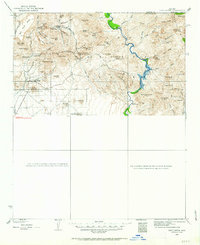
1930 Map of Cave Creek
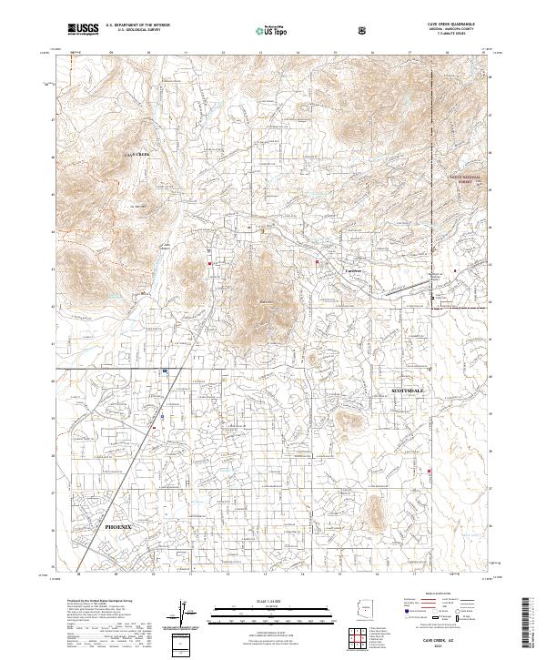
USGS Topo · Published 1963About this map
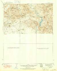
Tonto National Forest lands dominate this territory surveyed in 1929 and 1930, revealing a landscape defined by cattle ranching and early desert tourism. The settlement of Cave Creek serves as a southern anchor, while the northern reaches are dotted with remote outposts such as Lewis Ranch, Cartwright Ranch, and the Ashdale Ranger Sta. The presence of the Spur Cross Dude Ranch reflects the era's growing interest in Western recreational lifestyle, contrasted by the industrial legacy of the Mormon Girl Mine. Moving eastward, the Verde River winds through deep canyons, supported by water infrastructure like the U.S.G.S. Gaging Sta. This map documents a transitional period when traditional ranching at Sears Kay Ranch and Browns Ranch existed alongside the federal management of the Forest Service Recreation Area.
Find a feature on this map
74 named features on this map. Tap any name to fly to it.
Don’t see what you’re looking for? This feature index may not catch every label — zoom into the map to look around manually.
Map Details
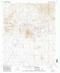
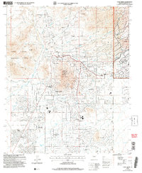
Editions of this 1930 Cave Creek Map
2 editions found

Historical Maps of Phoenix Through Time
8 maps found