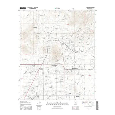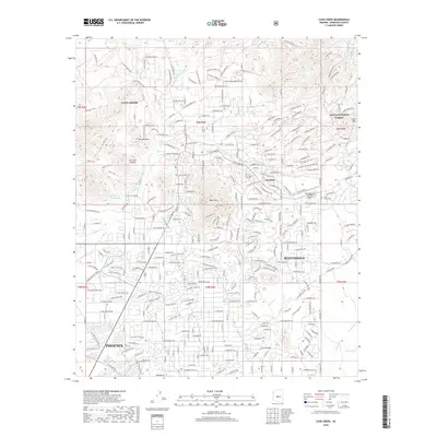
2004 Map of Cave Creek
USGS Topo · Published 2007About this map
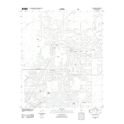
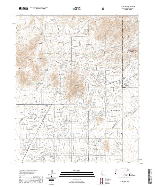
Black Mountain Summit Preserve dominates the central landscape of this 2004 revision, anchoring the desert communities as they expanded during the early 21st century. The map illustrates the sophisticated suburban layout of Cave Creek and Carefree, where residential developments like Canyon Creek Estates and The Boulders weave into the natural topography of the Sonoran Desert. This era shows a transition from the area's extraction history to a lifestyle-driven economy, evidenced by the numerous Golf Courses and recreational boundaries of Cave Creek Regional Park. Despite this growth, older landmarks of the territorial and mining eras remain visible. The Mormon Girl Mine and White Eagle Mine are documented on the slopes, and the Cave Creek Cemetery serves as a genealogical touchstone for the region's early families. The drainage patterns of Grapevine Wash and Galloway Wash dictate the road network, including historic routes like Stage Coach Pass.
Find a feature on this map
45 named features on this map. Tap any name to fly to it.
Don’t see what you’re looking for? This feature index may not catch every label — zoom into the map to look around manually.
Map Details
Editions of this 2004 Cave Creek Map
This is the sole edition of this map. No revisions or reprints were ever made.
Historical Maps of Phoenix Through Time
8 maps found